2024 Map of Lauderdale
USGS Topo · Published 2024About this map
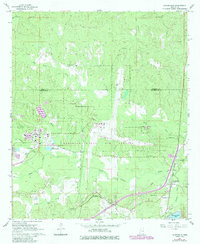
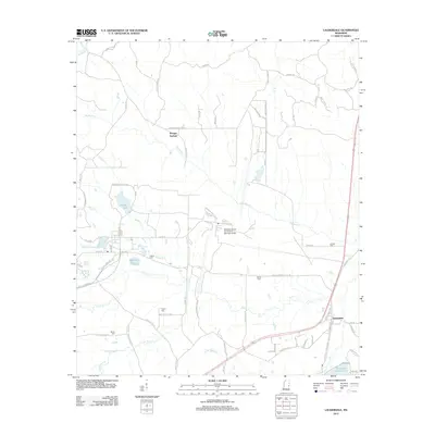
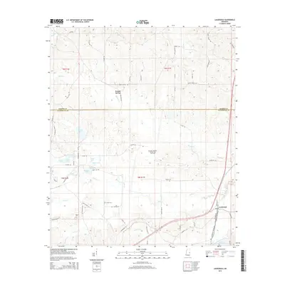
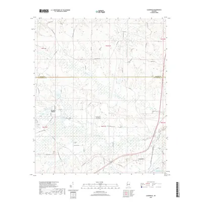
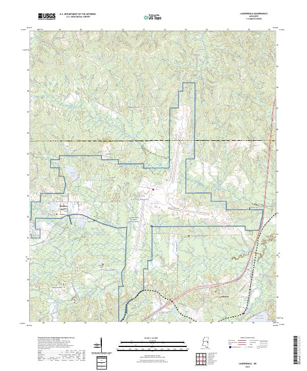
Naval Air Station Meridian dominates the central landscape of this East Mississippi region, encompassing Meridian Naval Air Station (Mc Cain Field). The surrounding area is characterized by a dense network of watercourses including Big Reed Creek, Ponta Creek, and Wright Creek, which carve through the terrain between the settlements of Lauderdale and Meridian Station. Local history is preserved in several family and community burial grounds, such as Barrett Cem and Gordon Cem, scattered among rural routes like Old Lauderdale Lizelia Rd. To the south, the development of Dalewood sits near Shore Lake, while the northern portion of the map tracks the boundary with Kemper County. Numerous small lakes, including Martha Lake and Caroline Lake, dot the wooded drainages, illustrating the complex hydrology that influenced the placement of early homesteads and roads.
Find a feature on this map
79 named features on this map. Tap any name to fly to it.
Don’t see what you’re looking for? This feature index may not catch every label — zoom into the map to look around manually.
Map Details
Editions of this 2024 Lauderdale Map
This is the sole edition of this map. No revisions or reprints were ever made.
Historical Maps of Kemper Springs Through Time
6 maps found