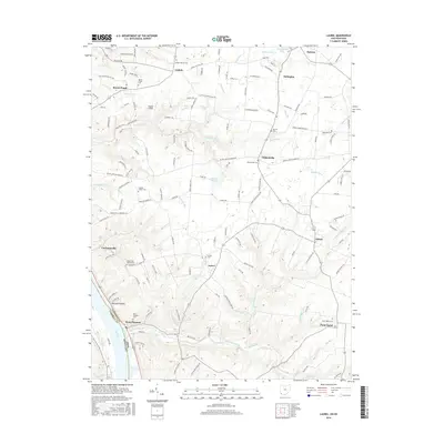
2016 Map of Laurel
USGS Topo · Published 2016About this map
The Ohio River corridor in Clermont County and Campbell County comes into sharp focus, showcasing the transition from riverfront settlements to the high ridges of the interior. Point Pleasant and Point Isabel anchor the southern reaches, where Big Indian Creek and its various forks like Stony Fork and Bee Run carve into the upland plateau. The landscape is dotted with small communities such as Nicholsville, Laurel, and Lindale, each defined by local landmarks like the Lindale Baptist Cem and Boober Airport. Genealogists will find a high density of rural burial grounds, including the Franklin Chapel Cem and Mount Zion Chapel Cem. The map illustrates a complex network of runs and creeks, including Twelvemile Cr and Sugartree Cr, which have historically dictated the placement of roads and farmsteads across this border region between Ohio and Kentucky.
Find a feature on this map
123 named features on this map. Tap any name to fly to it.
Don’t see what you’re looking for? This feature index may not catch every label — zoom into the map to look around manually.
Map Details
Editions of this 2016 Laurel Map
This is the sole edition of this map. No revisions or reprints were ever made.
Other maps of this area

1898 · East Cincinnati
USGS Topo · 1:62,500

1914 · East Cincinnati
USGS Topo · 1:62,500

1914 · Batavia
USGS Topo · 1:48,000

1916 · Batavia
USGS Topo · 1:62,500

1929 · Alexandria
USGS Topo · 1:48,000

1931 · Felicity
USGS Topo · 1:62,500

1936 · Alexandria
USGS Topo · 1:62,500

1953 · Laurel
USGS Topo · 1:24,000

1953 · Withamsville
USGS Topo · 1:24,000

1953 · Bethel
USGS Topo · 1:24,000