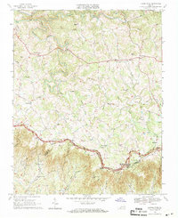
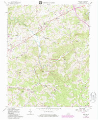
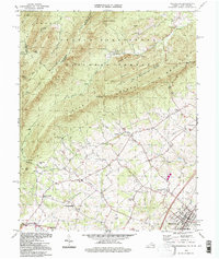
1968 Map of Laurel Fork
USGS Topo · Published 1971This historical map portrays the area of Laurel Fork in 1968, primarily covering Carroll County as well as portions of Patrick County. Featuring a scale of 1:24000, this map provides a highly detailed snapshot of the terrain, roads, buildings, counties, and historical landmarks in the Laurel Fork region at the time. Published in 1971, it is one of 3 known editions of this map due to revisions or reprints.
Find a feature on this map
44 named features on this map. Tap any name to fly to it.
Don’t see what you’re looking for? This feature index may not catch every label — zoom into the map to look around manually.
Map Details
Editions of this 1968 Laurel Fork Map
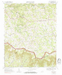
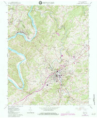
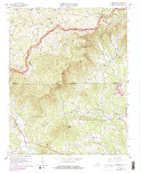
Historical Maps of Laurel Fork Through Time
10 maps found

1931 Galax
Carroll County, VA

1933 Galax
Carroll County, VA

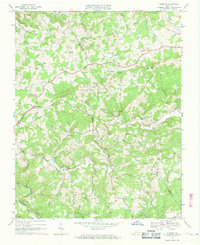
1956 Macks Mountain
Carroll County, VA
1965 Galax
Carroll County, VA
1965 Lambsburg
Carroll County, VA
1965 Sylvatus
Carroll County, VA
1965 Woodlawn
Carroll County, VA
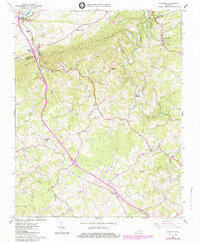
1968 Dugspur
Carroll County, VA
1968 Laurel Fork
Carroll County, VA
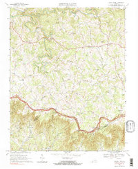
1994 Woodlawn
Carroll County, VA