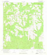
1973 Map of Laurel Hill
USGS Topo · Published 1975About this map
Laurel Hill serves as the primary hub on this North Florida landscape during the early 1970s, situated at the junction of several regional routes and the Louisville and Nashville railroad. The settlement of Svea sits to the east, while the surrounding countryside is defined by an intricate network of wetlands and creek bottoms including Watson Bay, Tyner Bay, and Ward Bay. This geography is shaped by the headwaters of numerous streams like Big Creek and Horsehead Creek, which flow through the undulating pine-covered terrain of the Florida Panhandle near the Alabama border.
Find a feature on this map
35 named features on this map. Tap any name to fly to it.
Don’t see what you’re looking for? This feature index may not catch every label — zoom into the map to look around manually.
Map Details
Editions of this 1973 Laurel Hill Map
2 editions found
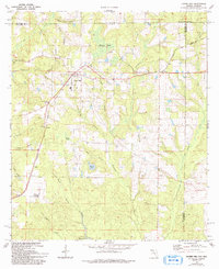
Other maps of this area

1949 · Crestview
USGS Topo · 1:62,500

1949 · Laurel Hill
USGS Topo · 1:62,500

1950 · Laurel Hill
USGS Topo · 1:62,500

1951 · Crestview
USGS Topo · 1:62,500

1953 · Andalusia
USGS Topo · 1:250,000

1957 · Andalusia
USGS Topo · 1:250,000

1957 · Pensacola
USGS Topo · 1:250,000

1959 · Pensacola
USGS Topo · 1:250,000

1960 · Pensacola
USGS Topo · 1:250,000

1971 · Wing
USGS Topo · 1:24,000