
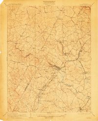
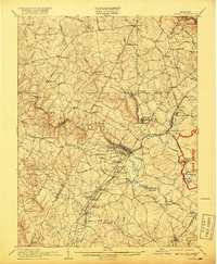
1907 Map of Laurel
USGS Topo · Published 1907About this map
The Middle Patuxent River and Little Patuxent River converge south of Savage in this detailed look at central Maryland's industrial and transit corridors. The landscape is defined by its early rail network, featuring the Baltimore and Ohio Railroad and the Washington and Baltimore Electric Ry threading through Laurel and Vansville. Local history is preserved in the placement of the House of Reformation near Bridewell and the Normal Institute in the southern reaches. Numerous named crossings like Snell Bridge and Old Forge Bridge highlight the historical importance of the river crossings for local trade, while rural life is anchored by schools such as Willis School and industrial outposts like Hicks Mill in the Bowie district.
Find a feature on this map
84 named features on this map. Tap any name to fly to it.
Don’t see what you’re looking for? This feature index may not catch every label — zoom into the map to look around manually.
Map Details
Editions of this 1907 Laurel Map
3 editions found
Other maps of this area

1890 · Mt. Vernon
USGS Topo · 1:125,000

1891 · Mt. Vernon
USGS Topo · 1:125,000

1892 · Laurel
USGS Topo · 1:62,500

1892 · Ellicott
USGS Topo · 1:62,500

1892 · Owensville
USGS Topo · 1:62,500

1893 · Frederick
USGS Topo · 1:125,000

1894 · Ellicott
USGS Topo · 1:62,500

1894 · Laurel
USGS Topo · 1:62,500

1894 · Baltimore
USGS Topo · 1:62,500

1894 · Frederick
USGS Topo · 1:125,000