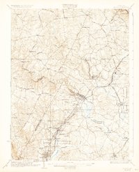
1926 Map of Laurel
USGS Topo · Published 1932About this map
The Laurel district at the junction of Prince George's, Howard, Montgomery, and Anne Arundel counties centers on a complex network of 1920s river crossings and rail corridors. The Patuxent River and its branches, including the Little Patuxent River and Middle Patuxent River, provide the primary topographical structure for the region, dictating the placement of early crossings like Snell Bridge, Browns Bridge, and Old Forge Bridge. This survey shows the area during a period of transition, where established rail lines like the Baltimore and Ohio RR and the Washington and Suburban Electric RR served industry and local commuting. Notable institutional landmarks are present throughout the landscape, from the U S Experimental Farm near Beltsville to the House of Reformation near Jessup. Educational history is preserved through scattered rural schoolhouses such as the Willis School, Edgewood School, and Paint Branch School.
Find a feature on this map
110 named features on this map. Tap any name to fly to it.
Don’t see what you’re looking for? This feature index may not catch every label — zoom into the map to look around manually.
Map Details
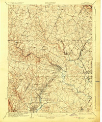
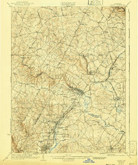
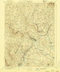
Editions of this 1926 Laurel Map
4 editions found
Other maps of this area

1890 · Mt. Vernon
USGS Topo · 1:125,000

1891 · Mt. Vernon
USGS Topo · 1:125,000

1892 · Laurel
USGS Topo · 1:62,500

1892 · Ellicott
USGS Topo · 1:62,500

1892 · Owensville
USGS Topo · 1:62,500

1893 · Frederick
USGS Topo · 1:125,000

1894 · Ellicott
USGS Topo · 1:62,500

1894 · Laurel
USGS Topo · 1:62,500

1894 · Baltimore
USGS Topo · 1:62,500

1894 · Frederick
USGS Topo · 1:125,000