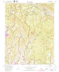
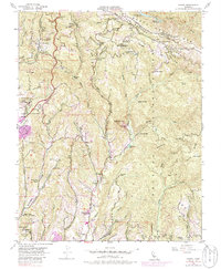
1955 Map of Laurel
USGS Topo · Published 1979About this map
The San Andreas Rift Zone dominates this mid-century landscape in the Santa Cruz Mts, where small settlements and retreats are scattered among the steep drainage basins of Soguel Creek and its tributaries. While the Southern Pacific Railroad cuts through the western ridges via tunnels near Glenwood, the social fabric of the era is visible in the numerous institutions dotting the hills, such as the St Clare Retreat, Bethany Bible College, and the Happy Valley Conference Ground. Several educational centers appear as relicts of a prior era, with Burrell Sch, Glenwood School, and Highland School all noted as abandoned by 1955. Industry is limited to specific pockets like the Olive Spring Quarry, while the ridge-top Skyland and Laurel communities remain connected by narrow routes like Summit Road and Highland Way.
Find a feature on this map
90 named features on this map. Tap any name to fly to it.
Don’t see what you’re looking for? This feature index may not catch every label — zoom into the map to look around manually.
Map Details
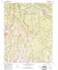
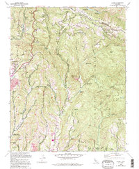
Editions of this 1955 Laurel Map
7 editions found
Other maps of this area

1902 · Santa Cruz
USGS Topo · 1:125,000

1912 · Capitola
USGS Topo · 1:62,500

1914 · Capitola
USGS Topo · 1:62,500

1916 · New Almaden
USGS Topo · 1:48,000

1919 · New Almaden
USGS Topo · 1:62,500

1940 · Capitola
USGS Topo · 1:62,500

1940 · Los Gatos
USGS Topo · 1:62,500

1943 · Los Gatos
USGS Topo · 1:62,500

1947 · San Francisco
USGS Topo · 1:250,000

1947 · San Jose
USGS Topo · 1:250,000