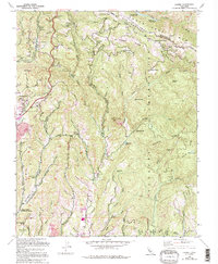
1955 Map of Laurel
USGS Topo · Published 1994About this map
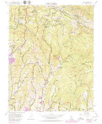
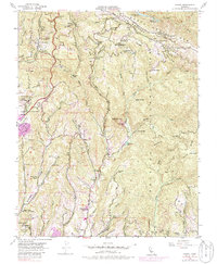
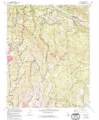
The San Andreas Fault Zone cuts through the high ridges of the Santa Cruz Mts, defining the steep geography of the border between Santa Clara Co and Santa Cruz Co. This 1955 survey, updated through the late 1980s, documents the scattered settlements and mountain retreats that characterize the area. In the north, the town of Laurel and nearby Glenwood sit along the winding Old Glenwood Road, while isolated pockets like Redwood Lodge and Spanish Ranch are tucked into the drainages of Soquel Creek and Hester Creek.
Find a feature on this map
63 named features on this map. Tap any name to fly to it.
Don’t see what you’re looking for? This feature index may not catch every label — zoom into the map to look around manually.
Map Details
Editions of this 1955 Laurel Map
7 editions found
Other maps of this area

1902 · Santa Cruz
USGS Topo · 1:125,000

1912 · Capitola
USGS Topo · 1:62,500

1914 · Capitola
USGS Topo · 1:62,500

1916 · New Almaden
USGS Topo · 1:48,000

1919 · New Almaden
USGS Topo · 1:62,500

1940 · Capitola
USGS Topo · 1:62,500

1940 · Los Gatos
USGS Topo · 1:62,500

1943 · Los Gatos
USGS Topo · 1:62,500

1947 · San Francisco
USGS Topo · 1:250,000

1947 · San Jose
USGS Topo · 1:250,000