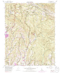
1955 Map of Laurel
USGS Topo · Published 1986About this map
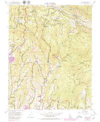
The San Andreas Rift Zone carves a deep geological signature across this landscape, separating the high ridges of the Santa Cruz Mts from the winding creek beds below. At this time, several rural schoolhouses had already faded from active use, including the Glenwood School (Abandoned) and Burrell Sch (Abandoned), signaling a shift in the local settlement patterns of these mountain communities. The rail-and-timber era is represented by the Southern Pacific Railroad line traversing the steep terrain near Laurel and Glenwood.
Find a feature on this map
82 named features on this map. Tap any name to fly to it.
Don’t see what you’re looking for? This feature index may not catch every label — zoom into the map to look around manually.
Map Details
Editions of this 1955 Laurel Map
7 editions found
Other maps of this area

1902 · Santa Cruz
USGS Topo · 1:125,000

1912 · Capitola
USGS Topo · 1:62,500

1914 · Capitola
USGS Topo · 1:62,500

1916 · New Almaden
USGS Topo · 1:48,000

1919 · New Almaden
USGS Topo · 1:62,500

1940 · Capitola
USGS Topo · 1:62,500

1940 · Los Gatos
USGS Topo · 1:62,500

1943 · Los Gatos
USGS Topo · 1:62,500

1947 · San Francisco
USGS Topo · 1:250,000

1947 · San Jose
USGS Topo · 1:250,000