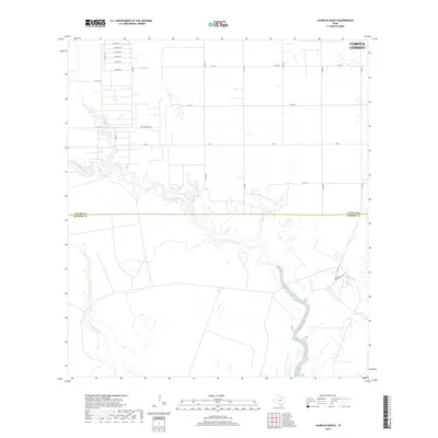
2019 Map of Laureles Ranch
USGS Topo · Published 2019About this map
Petronila Creek meanders through the heart of this coastal prairie landscape, carving a prominent natural corridor across the rural boundary between Nueces Co and Kleberg Co. While the urban edge of Corpus Christi touches the northeastern corner, the area remains defined by sprawling ranchlands and organized agricultural grids. The namesake Laureles Ranch anchor the southeastern portion of the map, reached by a network of county roads like Co Rd 51. To the west, the winding course of Chiltipin Cr adds further complexity to the drainage system. This survey documents the intersection of long-standing Texas ranching traditions and modern infrastructure, including the Salas Ranch Rd corridor and state routes like Fm 70, which facilitate movement between the inland holdings and the nearby Gulf Coast hub.
Find a feature on this map
24 named features on this map. Tap any name to fly to it.
Don’t see what you’re looking for? This feature index may not catch every label — zoom into the map to look around manually.
Map Details
Editions of this 2019 Laureles Ranch Map
This is the sole edition of this map. No revisions or reprints were ever made.
Other maps of this area

1924 · Petronilla
USGS Topo · 1:62,500

1925 · Oso Creek
USGS Topo · 1:62,500

1928 · Sarita
USGS Topo · 1:125,000

1950 · Corpus Christi
USGS Topo · 1:250,000

1951 · South Bird Island NW
USGS Topo · 1:24,000

1951 · Oso Creek NW
USGS Topo · 1:24,000

1951 · Riviera Beach NE
USGS Topo · 1:24,000

1951 · Oso Creek
USGS Topo · 1:62,500

1951 · South Bird Island
USGS Topo · 1:62,500

1952 · Riviera Beach NW
USGS Topo · 1:24,000