2023 Map of Laurelville
USGS Topo · Published 2023About this map
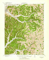
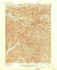
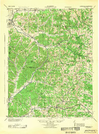
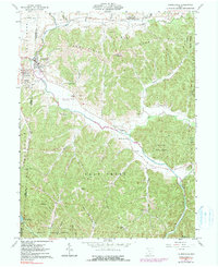
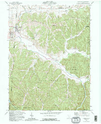
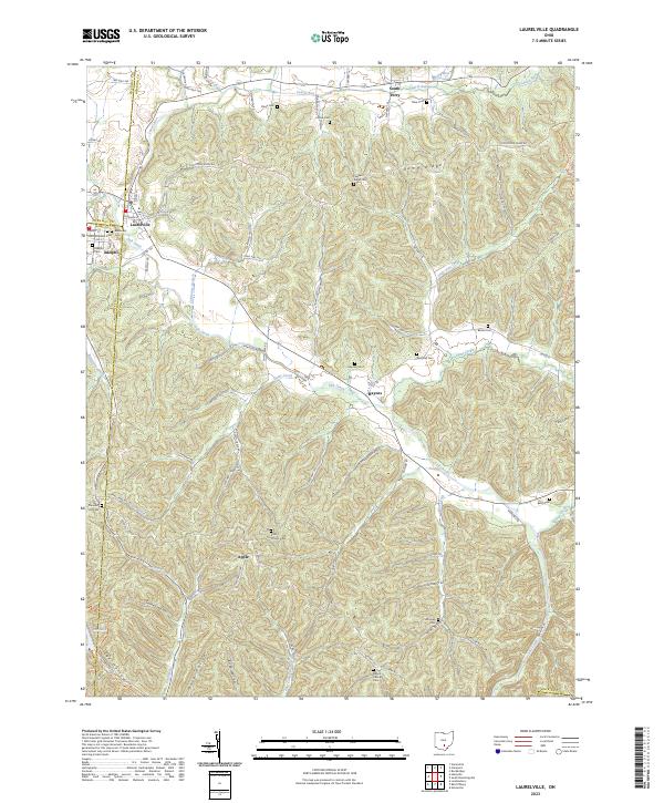
Laurelville sits at the meeting point of Pickaway, Hocking, and Ross counties, serving as a hub for the surrounding hollows and ridges. The landscape is defined by the winding course of Salt Creek, which flows past the small community of Haynes and beneath the elevations of Dumm Ridge and Thompson Ridge. This area is particularly rich in family and community burial grounds, preserving local history through sites such as the Old Methodist Cem, Zion Church Cem, and the Schooley Cem.
Find a feature on this map
106 named features on this map. Tap any name to fly to it.
Don’t see what you’re looking for? This feature index may not catch every label — zoom into the map to look around manually.
Map Details
Editions of this 2023 Laurelville Map
This is the sole edition of this map. No revisions or reprints were ever made.
Historical Maps of Adelphi Through Time
6 maps found