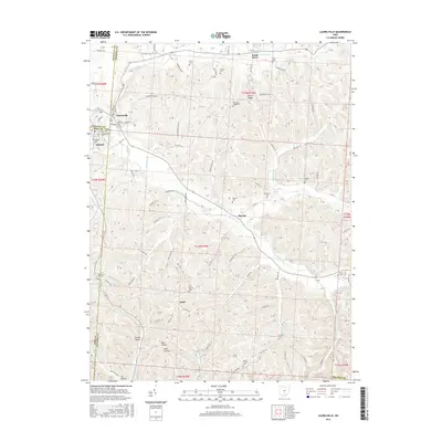
1912 Map of Laurelville
USGS Topo · Published 1948About this map
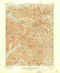
The Columbus and Chillicothe Road cuts a diagonal path through this rugged corner of the Hocking Hills, following the course of Salt Creek as it winds through a landscape defined by sharp ridges and deep hollows. Surveyed in 1910, the map captures a rural society organized around a high density of one-room schoolhouses and country churches, such as Brimstone School and Mt Carmel Church.
Find a feature on this map
100 named features on this map. Tap any name to fly to it.
Don’t see what you’re looking for? This feature index may not catch every label — zoom into the map to look around manually.
Map Details
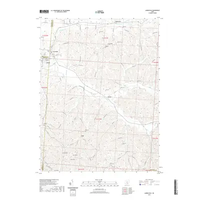
Editions of this 1912 Laurelville Map
2 editions found
Historical Maps of Laurelville Through Time
10 maps found
1910 Laurelville
Hocking County, OH
1912 Laurelville
Hocking County, OH
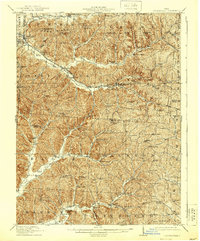
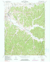
1944 Laurelville
Hocking County, OH
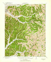
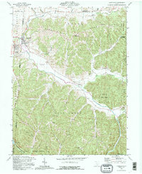
1961 Laurelville
Hocking County, OH
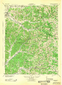
1992 Laurelville
Hocking County, OH
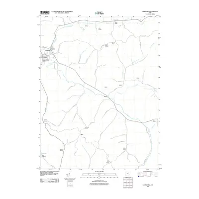
2010 Laurelville
Hocking County, OH
2013 Laurelville
Hocking County, OH
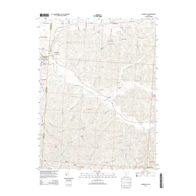
2016 Laurelville
Hocking County, OH
2019 Laurelville
Hocking County, OH
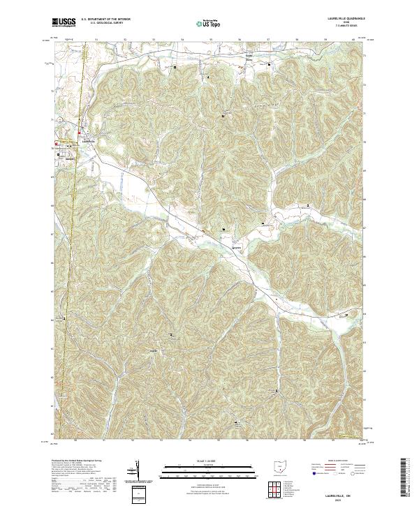
2023 Laurelville
Hocking County, OH