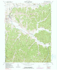
1961 Map of Laurelville
USGS Topo · Published 1990About this map
Salt Creek winds through a landscape defined by the convergence of several major drainages and early rural settlements at the edges of the Hocking State Forest and Tar Hollow State Forest. The village of Laurelville serves as a focal point near the junction of Laurel Creek and Salt Creek, while the neighboring town of Adelphi sits just across the western border. The map reveals a high density of nineteenth-century social markers, including several country churches like Mt Olive Ch and Pleasant Ridge Ch, alongside family-named burial grounds such as Davis Cem and Friend Cem. Prehistoric activity is evidenced by an Indian Mound located near the small community of California. The presence of several Gravel Pit operations and a Gaging Station on Salt Creek suggests a local economy tied to both the extraction of natural resources and the monitoring of the region's complex water systems.
Find a feature on this map
56 named features on this map. Tap any name to fly to it.
Don’t see what you’re looking for? This feature index may not catch every label — zoom into the map to look around manually.
Map Details
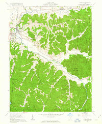
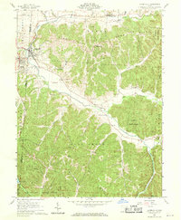
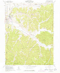
Editions of this 1961 Laurelville Map
4 editions found
Other maps of this area

1906 · Chillicothe
USGS Topo · 1:62,500

1907 · Lancaster
USGS Topo · 1:62,500

1908 · Chillicothe
USGS Topo · 1:62,500

1909 · Lancaster
USGS Topo · 1:62,500

1910 · Laurelville
USGS Topo · 1:62,500

1912 · Laurelville
USGS Topo · 1:62,500

1914 · Circleville
USGS Topo · 1:62,500

1943 · Circleville
USGS Topo · 1:62,500

1944 · Laurelville
USGS Topo · 1:62,500

1947 · Columbus
USGS Topo · 1:250,000