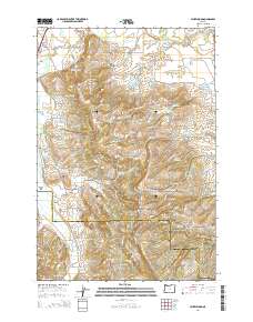
2014 Map of Laurelwood
USGS Topo · Published 2014About this map
Laurelwood and the northern reaches of the Chehalem Mountains define this landscape near the boundary of Washington and Yamhill counties. The area is characterized by an intricate network of small-scale water management, featuring dozens of named catchments such as Unger Reservoir, Cook Reservoir, and Pierson Reservoir. These features, alongside larger bodies like the Tualatin Valley Reservoir, reflect the intensive agricultural and residential development of the Tualatin Valley.
Find a feature on this map
116 named features on this map. Tap any name to fly to it.
Don’t see what you’re looking for? This feature index may not catch every label — zoom into the map to look around manually.
Map Details
Editions of this 2014 Laurelwood Map
This is the sole edition of this map. No revisions or reprints were ever made.
Other maps of this area

1915 · Hillsboro
USGS Topo · 1:62,500

1916 · Tualatin
USGS Topo · 1:62,500

1918 · Hillsboro
USGS Topo · 1:62,500

1939 · Tualatin
USGS Topo · 1:62,500

1940 · Tualatin
USGS Topo · 1:62,500

1940 · Hillsboro
USGS Topo · 1:62,500

1941 · Gales Creek
USGS Topo · 1:62,500

1941 · Yamhill
USGS Topo · 1:62,500

1942 · Yamhill
USGS Topo · 1:62,500

1948 · Vancouver
USGS Topo · 1:250,000