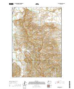
2020 Map of Laurelwood
USGS Topo · Published 2020About this map
The Tualatin River meanders across the northern portion of this landscape, where the settlements of Dilley and Blooming are established on the fertile plains near the Gales Creek confluence. This area is characterized by a high density of small-scale agricultural water management, evidenced by numerous named reservoirs such as Unger Reservoir, Cook Reservoir, and Pierson Reservoir. The terrain rises sharply to the south into the Chehalem Mountains, where Bald Peak State Park occupies a prominent elevation overlooking the Chehalem Valley. Local history is anchored by several cemeteries including Blooming Cem, Fern Hill Cem, and Oak Grove Cem, reflecting the early community centers of Laurelwood and Fern Hill. To the west, the distinct Wapato Lake Bed suggests the historical hydrology of the region before modern drainage patterns were fully established.
Find a feature on this map
125 named features on this map. Tap any name to fly to it.
Don’t see what you’re looking for? This feature index may not catch every label — zoom into the map to look around manually.
Map Details
Editions of this 2020 Laurelwood Map
This is the sole edition of this map. No revisions or reprints were ever made.
Other maps of this area

1915 · Hillsboro
USGS Topo · 1:62,500

1916 · Tualatin
USGS Topo · 1:62,500

1918 · Hillsboro
USGS Topo · 1:62,500

1939 · Tualatin
USGS Topo · 1:62,500

1940 · Tualatin
USGS Topo · 1:62,500

1940 · Hillsboro
USGS Topo · 1:62,500

1941 · Gales Creek
USGS Topo · 1:62,500

1941 · Yamhill
USGS Topo · 1:62,500

1942 · Yamhill
USGS Topo · 1:62,500

1948 · Vancouver
USGS Topo · 1:250,000