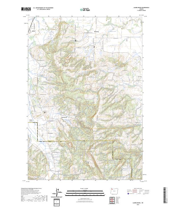
2024 Map of Laurelwood
USGS Topo · Published 2024About this map
Laurelwood and Dilley anchor this landscape where the Tualatin River basin meets the northern reaches of the Chehalem Mountains. The topography is defined by prominent elevations such as Fern Hill, Spring Hill, and the viticulturally significant Ribbon Ridge, interspersed with numerous private water storage sites like Unger Reservoir and Walters Reservoir. Local genealogy is well-documented through several historic burial grounds, including Blooming Cem, Fern Hill Cem, and Hills Cem. A significant portion of the western terrain is dedicated to conservation at the Wapato Lake National Wildlife Refuge, which encompasses the Wapato Lake Bed. The map reveals a complex network of rural roads and drainage systems, including Gales Creek and Christensen Creek, illustrating the long-standing agricultural and residential patterns of this part of Washington and Yamhill counties.
Find a feature on this map
128 named features on this map. Tap any name to fly to it.
Don’t see what you’re looking for? This feature index may not catch every label — zoom into the map to look around manually.
Map Details
Editions of this 2024 Laurelwood Map
This is the sole edition of this map. No revisions or reprints were ever made.
Other maps of this area

1915 · Hillsboro
USGS Topo · 1:62,500

1916 · Tualatin
USGS Topo · 1:62,500

1918 · Hillsboro
USGS Topo · 1:62,500

1939 · Tualatin
USGS Topo · 1:62,500

1940 · Tualatin
USGS Topo · 1:62,500

1940 · Hillsboro
USGS Topo · 1:62,500

1941 · Gales Creek
USGS Topo · 1:62,500

1941 · Yamhill
USGS Topo · 1:62,500

1942 · Yamhill
USGS Topo · 1:62,500

1948 · Vancouver
USGS Topo · 1:250,000