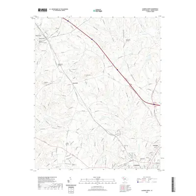
2020 Map of Laurens North
USGS Topo · Published 2020About this map
Laurens sits at the southern edge of this landscape, anchored by the Laurens County Judicial Center, while the surrounding terrain is defined by the winding paths of the Little River and Warrior Cr. The rural character of the region north of the county seat is preserved through numerous family and congregational landmarks, including the Bolt Family Cem and the Warrior Creek Baptist Church Graveyard. Distinctive topographical features like Big Knob and Little Knob rise above the drainage basins of Lick Cr and Reedy Fork. Small communities and residential clusters such as Barksdale, Wattsville, and Gray Court are connected by a network of historic routes like Old Laurens Rd, illustrating the transition from established agricultural settlements to modern suburban corridors. Water bodies like Teagues Lake and Abbotts Pond provide focal points in the upper reaches of the river system.
Find a feature on this map
137 named features on this map. Tap any name to fly to it.
Don’t see what you’re looking for? This feature index may not catch every label — zoom into the map to look around manually.
Map Details
Editions of this 2020 Laurens North Map
This is the sole edition of this map. No revisions or reprints were ever made.
Other maps of this area

1892 · Abbeville
USGS Topo · 1:125,000

1941 · Spartanburg
USGS Topo · 1:250,000

1953 · Spartanburg
USGS Topo · 1:250,000

1954 · Greenville
USGS Topo · 1:250,000

1957 · Fountain Inn
USGS Topo · 1:62,500

1958 · Greenville
USGS Topo · 1:250,000

1960 · Spartanburg
USGS Topo · 1:250,000

1963 · Spartanburg
USGS Topo · 1:250,000

1964 · Spartanburg
USGS Topo · 1:250,000

1969 · Ora
USGS Topo · 1:24,000