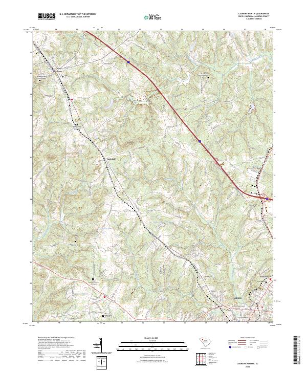
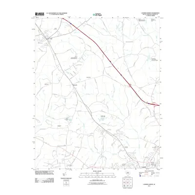
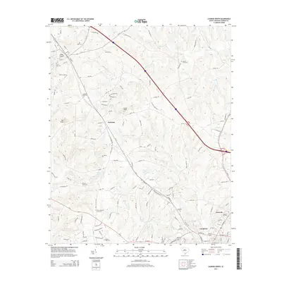
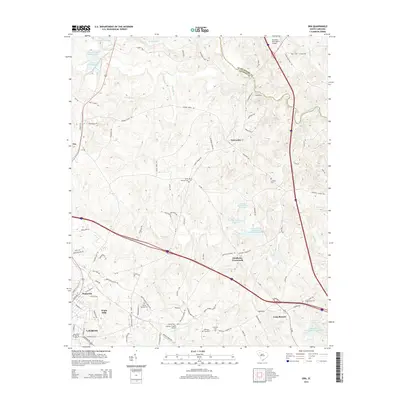
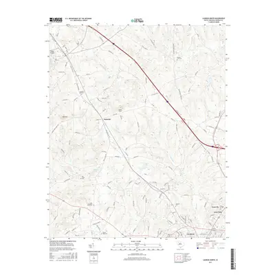
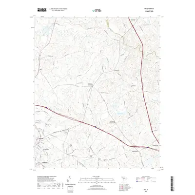
2024 Map of Laurens North
USGS Topo · Published 2024About this map
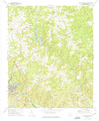
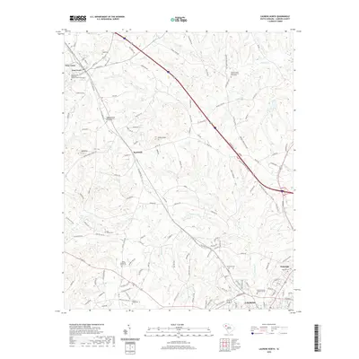
Laurens anchor the southern reaches of this landscape, where the Laurens County Judicial Center marks the civic heart of the region. The map reveals a transition from these urban corridors to a more dispersed rural network connected by heritage routes like Old Laurens Rd. Family history is deeply rooted here, evidenced by numerous burial grounds such as the Bolt Family Cem and the Knight Cem.
Find a feature on this map
136 named features on this map. Tap any name to fly to it.
Don’t see what you’re looking for? This feature index may not catch every label — zoom into the map to look around manually.
Map Details
Editions of this 2024 Laurens North Map
This is the sole edition of this map. No revisions or reprints were ever made.
Historical Maps of Laurens Through Time
36 maps found
1969 Ora
Laurens County, SC
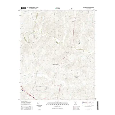
1969 Philson Crossroads
Laurens County, SC
1971 Laurens South
Laurens County, SC
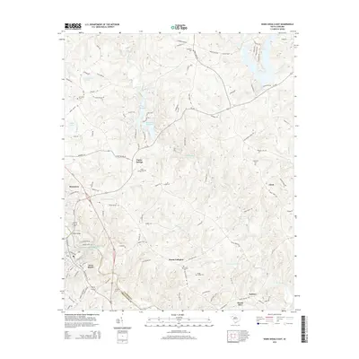
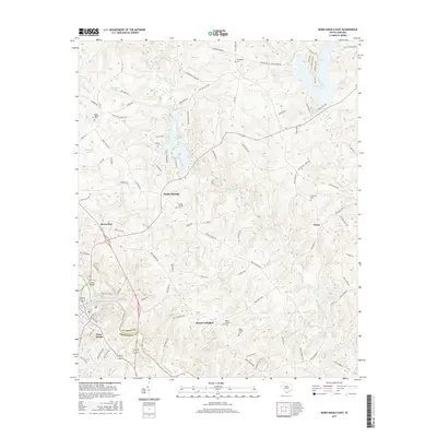
1971 Ware Shoals East
Laurens County, SC
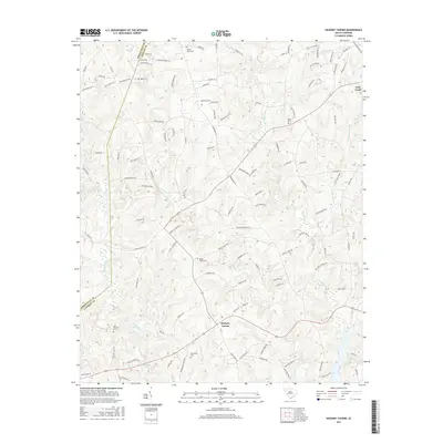
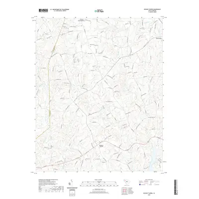
1983 Hickory Tavern
Laurens County, SC
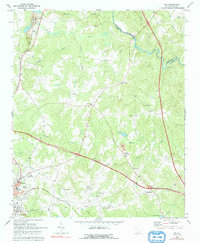
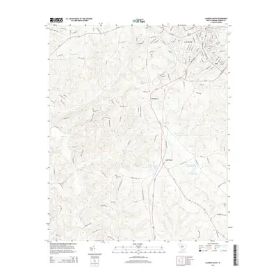
1983 Laurens North
Laurens County, SC
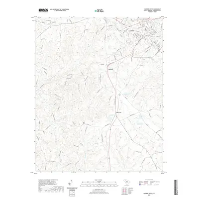
2011 Hickory Tavern
Laurens County, SC
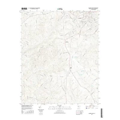
2011 Laurens North
Laurens County, SC
2011 Laurens South
Laurens County, SC
2011 Ora
Laurens County, SC
2011 Philson Crossroads
Laurens County, SC
2011 Ware Shoals East
Laurens County, SC
2014 Hickory Tavern
Laurens County, SC
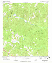
2014 Laurens North
Laurens County, SC
2014 Laurens South
Laurens County, SC
2014 Ora
Laurens County, SC
2014 Philson Crossroads
Laurens County, SC
2014 Ware Shoals East
Laurens County, SC
2017 Hickory Tavern
Laurens County, SC
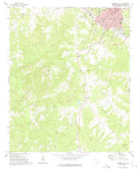
2017 Laurens North
Laurens County, SC
2017 Laurens South
Laurens County, SC
2017 Ora
Laurens County, SC
2017 Philson Crossroads
Laurens County, SC
2017 Ware Shoals East
Laurens County, SC
2020 Hickory Tavern
Laurens County, SC
2020 Laurens North
Laurens County, SC
2020 Laurens South
Laurens County, SC
2020 Ora
Laurens County, SC
2020 Philson Crossroads
Laurens County, SC
2020 Ware Shoals East
Laurens County, SC
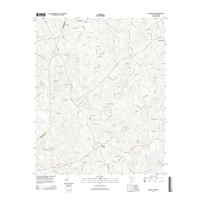
2024 Hickory Tavern
Laurens County, SC
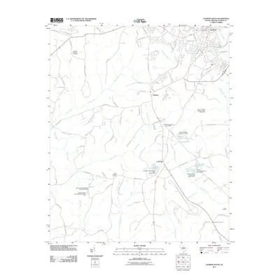
2024 Laurens North
Laurens County, SC
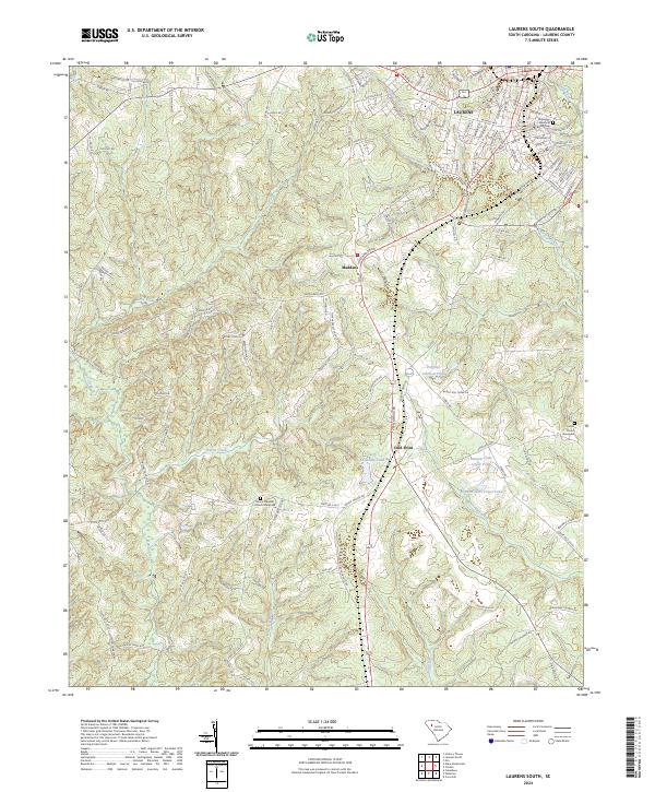
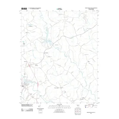
2024 Laurens South
Laurens County, SC
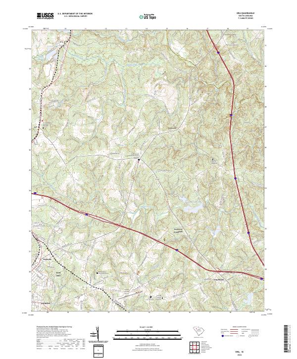
2024 Ora
Laurens County, SC
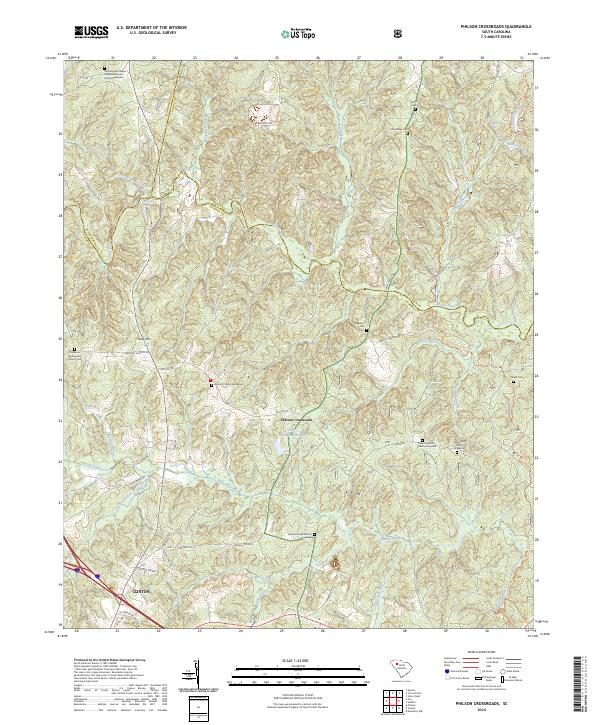
2024 Philson Crossroads
Laurens County, SC
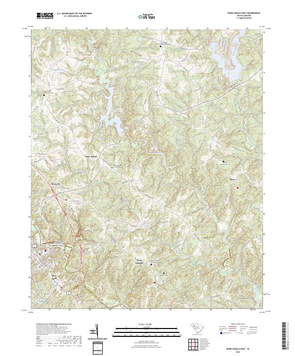
2024 Ware Shoals East
Laurens County, SC