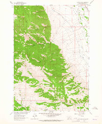
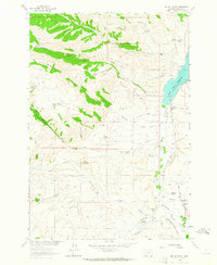
1963 Map of Laurin Canyon
USGS Topo · Published 1964About this map
The Ruby Range dominates this portion of Madison County, providing a steep backdrop to the irrigated agricultural lands of the Ruby Valley. Historically, the transition between these terrains is defined by extensive water management and high-country access, shown here through the Ayotte Ditch and a network of Jeep Trails and Pack Trails that penetrate the canyons. Deep in the uplands, the Ruby Range is carved by numerous drainages such as Taylor Canyon and Laurin Canyon, where remote points like Warwhoop Springs provided essential water. Along the valley floor, the Northern Pacific railroad parallels the Ruby River, supporting the movement of goods from local operations. Evidence of early industry remains on the landscape, including Kilns located near the base of the mountains, suggesting the extraction and processing of local mineral resources during the mid-20th century.
Find a feature on this map
32 named features on this map. Tap any name to fly to it.
Don’t see what you’re looking for? This feature index may not catch every label — zoom into the map to look around manually.
Map Details
Editions of this 1963 Laurin Canyon Map
2 editions found
Other maps of this area

1893 · Dillon
USGS Topo · 1:250,000

1955 · Dillon
USGS Topo · 1:250,000

1957 · Dillon
USGS Topo · 1:250,000

1958 · Dillon
USGS Topo · 1:250,000

1961 · Mine Gulch
USGS Topo · 1:24,000

1961 · Beaverhead Rock SE
USGS Topo · 1:24,000

1962 · Dillon
USGS Topo · 1:250,000
1962 · Beaverhead Rock NE
USGS Topo · 1:24,000
1963 · Sheridan
USGS Topo · 1:24,000
1963 · Metzel Ranch
USGS Topo · 1:24,000