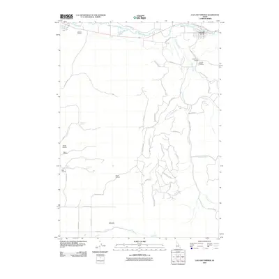
2010 Map of Lava Hot Springs
USGS Topo · Published 2010About this map
Lava Hot Springs occupies a notable bend in the Portneuf River in this 2010 topographic record, where the river's path is closely paralleled by the historic E Old Oregon Trail Rd. This Idaho landscape is defined by its complex drainage network, where the river meets the Portneuf Marsh Valley Canal and is fed by numerous tributaries including Dempsey Creek and Beaverdam Creek. The settlement pattern follows the canyon floors and ridges, with family-named landmarks like Henderson Canyon, Jenkins Canyon, and Smith Canyon indicating the historical footprint of local ranching and land use. Genealogists will find the Lava Hot Springs Cemetery located just south of the town center. The map further documents vital water sources such as Chatterton Spring and Welcome Spring, alongside specialized access points like the Yago Creek Access Area in the south, reflecting the area's transition between agricultural utility and modern recreational use.
Find a feature on this map
50 named features on this map. Tap any name to fly to it.
Don’t see what you’re looking for? This feature index may not catch every label — zoom into the map to look around manually.
Map Details
Editions of this 2010 Lava Hot Springs Map
This is the sole edition of this map. No revisions or reprints were ever made.
Other maps of this area

1915 · Preston
USGS Topo · 1:96,000

1918 · Preston
USGS Topo · 1:125,000

1948 · Bancroft
USGS Topo · 1:62,500

1949 · Bancroft
USGS Topo · 1:62,500

1954 · Pocatello
USGS Topo · 1:250,000

1955 · Preston
USGS Topo · 1:250,000

1958 · Pocatello
USGS Topo · 1:250,000

1958 · Preston
USGS Topo · 1:250,000

1962 · Preston
USGS Topo · 1:250,000

1968 · Downey West
USGS Topo · 1:24,000