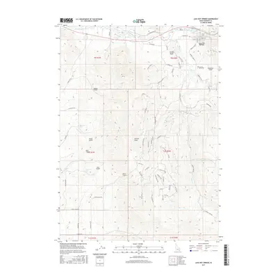
2017 Map of Lava Hot Springs
USGS Topo · Published 2017About this map
The Portneuf River carves through this corner of the Portneuf Range, anchoring the settlement of Lava Hot Springs during the early 21st century. This survey documents the intersection of geology and transportation, where the modern corridor of E Old Oregon Trail Rd follows the historical path of westward migration along the river valley. The town's layout is clearly defined by streets like E Elm St and E Booth St, while the local Lava Hot Springs Airport and Lava Hot Springs Cem sit on the periphery of the residential core.
Find a feature on this map
77 named features on this map. Tap any name to fly to it.
Don’t see what you’re looking for? This feature index may not catch every label — zoom into the map to look around manually.
Map Details
Editions of this 2017 Lava Hot Springs Map
This is the sole edition of this map. No revisions or reprints were ever made.
Other maps of this area

1915 · Preston
USGS Topo · 1:96,000

1918 · Preston
USGS Topo · 1:125,000

1948 · Bancroft
USGS Topo · 1:62,500

1949 · Bancroft
USGS Topo · 1:62,500

1954 · Pocatello
USGS Topo · 1:250,000

1955 · Preston
USGS Topo · 1:250,000

1958 · Pocatello
USGS Topo · 1:250,000

1958 · Preston
USGS Topo · 1:250,000

1962 · Preston
USGS Topo · 1:250,000

1968 · Downey West
USGS Topo · 1:24,000