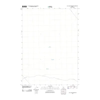
2010 Map of Lava Lake Reservoir
USGS Topo · Published 2010About this map
Lava Lake Reservoir and its surrounding water bodies define this high desert portion of Bingham County. The landscape is marked by its sparse water resources and functional transit corridors, with Grover Lake Reservoir and Wood Road Lake serving as critical landmarks in an otherwise open terrain. The mapping reveals a distinct infrastructure pattern focused on access and water management, notably anchored by Well No 2 Rd, which traverses the southern portion of the quadrangle. In the northeast corner, Taber Rd provides a vital link across the dry expanses, illustrating the modern rural connectivity of this Idaho region. This 2010 survey by the U.S. Geological Survey utilizes data from the National Hydrography Dataset and Tele Atlas to detail the specific topography and hydrology of the area.
Find a feature on this map
5 named features on this map. Tap any name to fly to it.
Don’t see what you’re looking for? This feature index may not catch every label — zoom into the map to look around manually.
Map Details
Editions of this 2010 Lava Lake Reservoir Map
This is the sole edition of this map. No revisions or reprints were ever made.
Other maps of this area

1955 · Springfield NW
USGS Topo · 1:24,000

1955 · Idaho Falls
USGS Topo · 1:250,000

1958 · Idaho Falls
USGS Topo · 1:250,000

1973 · Scoville
USGS Topo · 1:24,000

1973 · Middle Butte
USGS Topo · 1:24,000

1973 · Taber
USGS Topo · 1:24,000

1973 · Rock Butte
USGS Topo · 1:24,000

1973 · Atomic City
USGS Topo · 1:24,000

1973 · Lava Lake Reservoir
USGS Topo · 1:24,000

1973 · Coffee Point NE
USGS Topo · 1:24,000