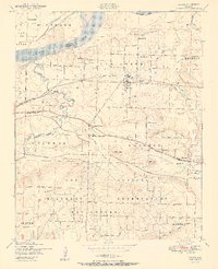
1951 Map of Lavaca
USGS Topo · Published 1951About this map
The Arkansas River forms the northern boundary of this 1951 survey, where the river's edge meets the upland terrain of Sebastian and Crawford Counties. The town of Lavaca serves as the central hub, situated along the Missouri Pacific railroad line. To the south, the landscape is defined by the massive Camp Chaffee Military Reservation, its boundaries cutting through the countryside near the Bloomer settlement.
Find a feature on this map
40 named features on this map. Tap any name to fly to it.
Don’t see what you’re looking for? This feature index may not catch every label — zoom into the map to look around manually.
Map Details
Editions of this 1951 Lavaca Map
2 editions found
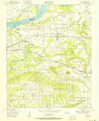
Other maps of this area

1879 · Fort Smith
USGS Topo · 1:62,500

1887 · Van Buren
USGS Topo · 1:62,500

1887 · Greenwood
USGS Topo · 1:62,500

1890 · Fort Smith
USGS Topo · 1:125,000

1906 · Lavaca
USGS Topo · 1:62,500

1906 · Barber
USGS Topo · 1:62,500

1943 · Fort Smith
USGS Topo · 1:125,000

1946 · Fort Smith
USGS Topo · 1:250,000
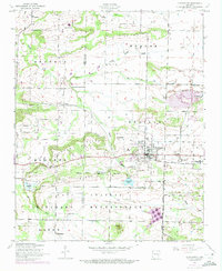
1946 · Charleston
USGS Topo · 1:24,000

1947 · Lavaca
USGS Topo · 1:62,500