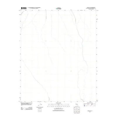
2012 Map of Lavic SE
USGS Topo · Published 2012About this map
Arid basin floors and dry desert washes define this segment of San Bernardino County, where the landscape is primarily shaped by the borders of the 29 Palms MCAG. This military training area dominates the terrain, creating a sparse and restricted environment characterized by ephemeral watercourses and alluvial fans. The lack of civilian settlements or public infrastructure reflects the specialized land use within the Mojave Desert during this era. Topographic details highlight the intricate drainage patterns of the high desert, which are critical for understanding the natural movement of water through this protected military corridor.
Find a feature on this map
2 named features on this map. Tap any name to fly to it.
Don’t see what you’re looking for? This feature index may not catch every label — zoom into the map to look around manually.
Map Details
Editions of this 2012 Lavic SE Map
This is the sole edition of this map. No revisions or reprints were ever made.
Other maps of this area

1953 · San Bernardino
USGS Topo · 1:250,000

1954 · Galway Lake
USGS Topo · 1:24,000

1954 · Hidalgo Mtn
USGS Topo · 1:24,000

1954 · Emerson Lake
USGS Topo · 1:24,000

1955 · Deadman Lake NW
USGS Topo · 1:24,000

1955 · Ludlow
USGS Topo · 1:24,000

1955 · Lavic SE
USGS Topo · 1:24,000

1955 · Morgans Well
USGS Topo · 1:24,000

1955 · Sunshine Peak
USGS Topo · 1:24,000

1955 · Lavic Lake
USGS Topo · 1:24,000