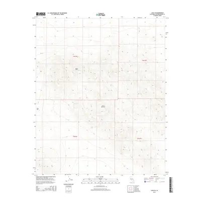
2015 Map of Lavic SE
USGS Topo · Published 2015About this map
Bullion Mountains dominate the southern half of this landscape, rising sharply from the surrounding terrain. This portion of the Mojave Desert is characterized by its high-altitude topography and stark lack of human development, with the exception of the Gays Pass crossing. The map details the Public Land Survey System grid, including townships t6n r6e, t6n r7e, t5n r6e, and t5n r7e, illustrating how federal surveying methods organized this arid expanse. The elevation contours reveal the complex ridges and drainage patterns of the desert floor and mountain slopes as they appeared in the early 2010s.
Find a feature on this map
7 named features on this map. Tap any name to fly to it.
Don’t see what you’re looking for? This feature index may not catch every label — zoom into the map to look around manually.
Map Details
Editions of this 2015 Lavic SE Map
This is the sole edition of this map. No revisions or reprints were ever made.
Other maps of this area

1953 · San Bernardino
USGS Topo · 1:250,000

1954 · Galway Lake
USGS Topo · 1:24,000

1954 · Hidalgo Mtn
USGS Topo · 1:24,000

1954 · Emerson Lake
USGS Topo · 1:24,000

1955 · Deadman Lake NW
USGS Topo · 1:24,000

1955 · Ludlow
USGS Topo · 1:24,000

1955 · Lavic SE
USGS Topo · 1:24,000

1955 · Morgans Well
USGS Topo · 1:24,000

1955 · Sunshine Peak
USGS Topo · 1:24,000

1955 · Lavic Lake
USGS Topo · 1:24,000