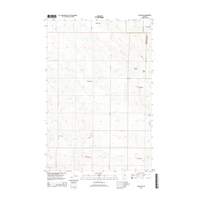
2014 Map of Lavina NW
USGS Topo · Published 2014About this map
The high plains of Central Montana are defined by deep drainages and cattle ranching infrastructure along the boundary of Golden Valley and Musselshell counties. The landscape is carved by seasonal waterways including Cameron Cr in the north and Currant Cr in the south, which weave through a series of natural depressions such as Spring Coulee, Smith Coulee, and Twin Coulee. This 2014 survey reveals a sparse network of ranch roads and private lanes that navigate the townships of T8N and T9N. Long-established routes like Emory Rd, Timber Buttes Rd, and the descriptively named Horsethief Rd connect isolated homesteads and grazing lands. Smaller, family-named or descriptive spurs like Lehfeldt Rd, N Harmon Rd, and Faith Ranch Ln provide insight into the modern land use and historical property divisions of this part of the Big Sky Country.
Find a feature on this map
21 named features on this map. Tap any name to fly to it.
Don’t see what you’re looking for? This feature index may not catch every label — zoom into the map to look around manually.
Map Details
Editions of this 2014 Lavina NW Map
This is the sole edition of this map. No revisions or reprints were ever made.
Other maps of this area

1889 · Big Snowy Mountain
USGS Topo · 1:250,000

1893 · Big Snowy Mountain
USGS Topo · 1:250,000

1954 · Roundup
USGS Topo · 1:250,000

1958 · Roundup
USGS Topo · 1:250,000

1979 · Roundup
USGS Topo · 1:100,000

1979 · Bundy
USGS Topo · 1:24,000

1979 · Lavina NW
USGS Topo · 1:24,000

1979 · Timber Buttes South
USGS Topo · 1:24,000

1979 · Lavina
USGS Topo · 1:24,000

1986 · Emory School
USGS Topo · 1:24,000