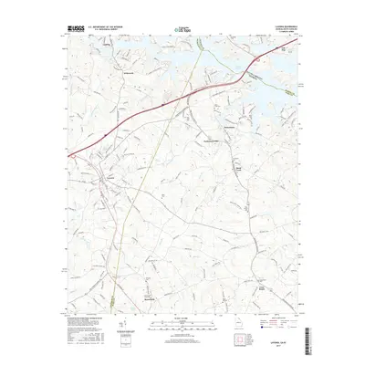
2017 Map of Lavonia
USGS Topo · Published 2017About this map
Lavonia stands as the primary hub in this Georgia-South Carolina borderlands region, situated where the southern Piedmont meets the sprawling fingers of Hartwell Lake. The landscape is defined by the convergence of Franklin Co, Hart Co, and Oconee Co, with the Tugalo River serving as the state line. Smaller communities such as Gumlog, Bowersville, and Parkertown are connected by a network of rural roads and historical industrial markers like the Parkertown Mill.
Find a feature on this map
165 named features on this map. Tap any name to fly to it.
Don’t see what you’re looking for? This feature index may not catch every label — zoom into the map to look around manually.
Map Details
Editions of this 2017 Lavonia Map
This is the sole edition of this map. No revisions or reprints were ever made.
Other maps of this area

1886 · Walhalla
USGS Topo · 1:125,000

1888 · Pickens
USGS Topo · 1:125,000

1891 · Carnesville
USGS Topo · 1:125,000

1892 · Walhalla
USGS Topo · 1:125,000

1893 · Elberton
USGS Topo · 1:125,000

1894 · Pickens
USGS Topo · 1:125,000

1896 · Walhalla
USGS Topo · 1:125,000

1954 · Greenville
USGS Topo · 1:250,000

1958 · Greenville
USGS Topo · 1:250,000

1958 · Fair Play
USGS Topo · 1:24,000