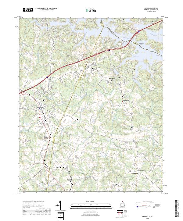
2024 Map of Lavonia
USGS Topo · Published 2024About this map
Lavonia and the surrounding rural landscape of Franklin and Hart counties are documented here, highlighting the intersection of Interstate 85 with long-established Piedmont settlements. The map illustrates a region transitioning from its agricultural roots to a modern transportation corridor, yet it preserves numerous historical markers of the past. Along the Tugalo River and the northern reaches of Hartwell Lake, the presence of Cleveland Ferry and Parkertown Mill points to an era when river crossings and local milling were central to the economy.
Find a feature on this map
197 named features on this map. Tap any name to fly to it.
Don’t see what you’re looking for? This feature index may not catch every label — zoom into the map to look around manually.
Map Details
Editions of this 2024 Lavonia Map
This is the sole edition of this map. No revisions or reprints were ever made.
Other maps of this area

1886 · Walhalla
USGS Topo · 1:125,000

1888 · Pickens
USGS Topo · 1:125,000

1891 · Carnesville
USGS Topo · 1:125,000

1892 · Walhalla
USGS Topo · 1:125,000

1893 · Elberton
USGS Topo · 1:125,000

1894 · Pickens
USGS Topo · 1:125,000

1896 · Walhalla
USGS Topo · 1:125,000

1954 · Greenville
USGS Topo · 1:250,000

1958 · Greenville
USGS Topo · 1:250,000

1958 · Fair Play
USGS Topo · 1:24,000