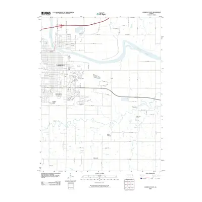
2009 Map of Lawrence East
USGS Topo · Published 2009About this map
The eastern reaches of Lawrence and the surrounding river bottoms define this landscape along the Kansas River and the meandering Wakarusa River. This area is anchor to major educational institutions, including the eastern edges of the University of Kansas and the Haskell Indian Nations University. The map documents significant civic landmarks such as the Douglas County Fairgrounds and two major resting places, Oak Hill Cemetery and Memorial Park Cemetery.
Find a feature on this map
104 named features on this map. Tap any name to fly to it.
Don’t see what you’re looking for? This feature index may not catch every label — zoom into the map to look around manually.
Map Details
Editions of this 2009 Lawrence East Map
This is the sole edition of this map. No revisions or reprints were ever made.
Other maps of this area

1885 · Lawrence
USGS Topo · 1:125,000

1886 · Oskaloosa
USGS Topo · 1:125,000

1888 · Oskaloosa
USGS Topo · 1:125,000

1889 · Lawrence
USGS Topo · 1:125,000

1894 · Oskaloosa
USGS Topo · 1:125,000

1947 · Lawrence
USGS Topo · 1:250,000

1949 · Williamstown
USGS Topo · 1:24,000

1950 · Kansas City
USGS Topo · 1:250,000

1950 · Williamstown
USGS Topo · 1:24,000

1950 · Lawrence
USGS Topo · 1:250,000