
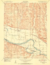
1950 Map of Williamstown
USGS Topo · Published 1950About this map
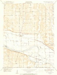
The Kansas River valley dominates this mid-century landscape, carving a wide path through the borderlands of Jefferson and Douglas counties. The settlement of Williamstown serves as a central hub along the Union Pacific railroad, surrounded by a dense network of rural infrastructure including the Buck Creek Sch and Underwood Cem. A distinctive historical marker, the Old Indian BDY, cuts across the terrain north of the river, reflecting the region's complex history of land division and tribal territories. To the south, the Atchison Topeka and Santa Fe line runs parallel to the riverbanks near Lake View Lake, where the Lake View Ch and Lake View Sch anchor the local community. The prevalence of small district schools like Dean Sch and Clover Hill Sch illustrates the decentralized educational system of this agrarian era.
Find a feature on this map
37 named features on this map. Tap any name to fly to it.
Don’t see what you’re looking for? This feature index may not catch every label — zoom into the map to look around manually.
Map Details
Editions of this 1950 Williamstown Map
3 editions found
Other maps of this area

1885 · Lawrence
USGS Topo · 1:125,000

1886 · Oskaloosa
USGS Topo · 1:125,000

1888 · Oskaloosa
USGS Topo · 1:125,000

1889 · Lawrence
USGS Topo · 1:125,000

1894 · Oskaloosa
USGS Topo · 1:125,000

1947 · Lawrence
USGS Topo · 1:250,000

1949 · Williamstown
USGS Topo · 1:24,000

1949 · Perry
USGS Topo · 1:24,000

1950 · Perry
USGS Topo · 1:24,000

1950 · Kansas City
USGS Topo · 1:250,000