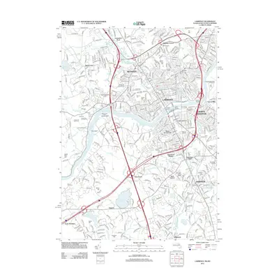
2012 Map of Lawrence
USGS Topo · Published 2012About this map
The Merrimack River serves as the central artery of this industrial and residential landscape, connecting the dense urban cores of Lawrence and Methuen with the outlying villages of Andover and North Andover. This survey documents a complex network of infrastructure, including the many crossings that define the city center such as Duck Bridge and Casey Bridge. The industrial heritage of the valley is evident in the layout of Suttons Mills and the planned residential character of Shawsheen Village, while the southern reaches of the map show the institutional presence of Merrimack College. A remarkable concentration of historic burial grounds, including Holy Sepulchre Cem and the Bellevue Cem, reflects the long-standing community roots and genealogical depth of these Essex County mill towns. Transportation diversity is highlighted by the Lawrence Municipal Airport and the more specialized Merrimack Valley Seaplane Base on the river.
Find a feature on this map
82 named features on this map. Tap any name to fly to it.
Don’t see what you’re looking for? This feature index may not catch every label — zoom into the map to look around manually.
Map Details
Editions of this 2012 Lawrence Map
This is the sole edition of this map. No revisions or reprints were ever made.
Other maps of this area

1886 · Lawrence
USGS Topo · 1:62,500

1886 · Lowell
USGS Topo · 1:62,500

1888 · Haverhill
USGS Topo · 1:62,500

1888 · Lawrence
USGS Topo · 1:62,500

1890 · Haverhill
USGS Topo · 1:62,500

1893 · Lowell
USGS Topo · 1:62,500

1893 · Lawrence
USGS Topo · 1:62,500

1893 · Haverhill
USGS Topo · 1:62,500

1905 · Manchester
USGS Topo · 1:62,500

1918 · Lowell
USGS Topo · 1:62,500