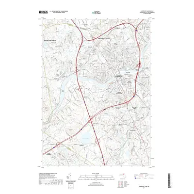
2021 Map of Lawrence
USGS Topo · Published 2021About this map
The industrial and civic heart of the Merrimack River valley is anchored by the dense urban centers of Lawrence and Methuen Town. This modern survey details the significant transportation corridors and institutional landmarks that define the region, including the Essex County Superior Courthouse and the Massachusetts School of Law. The river itself is spanned by several prominent structures like the Duck Bridge and O'Leary Bridge, which connect the main city to South Lawrence.
Find a feature on this map
77 named features on this map. Tap any name to fly to it.
Don’t see what you’re looking for? This feature index may not catch every label — zoom into the map to look around manually.
Map Details
Editions of this 2021 Lawrence Map
This is the sole edition of this map. No revisions or reprints were ever made.
Other maps of this area

1886 · Lawrence
USGS Topo · 1:62,500

1886 · Lowell
USGS Topo · 1:62,500

1888 · Haverhill
USGS Topo · 1:62,500

1888 · Lawrence
USGS Topo · 1:62,500

1890 · Haverhill
USGS Topo · 1:62,500

1893 · Lowell
USGS Topo · 1:62,500

1893 · Lawrence
USGS Topo · 1:62,500

1893 · Haverhill
USGS Topo · 1:62,500

1905 · Manchester
USGS Topo · 1:62,500

1918 · Lowell
USGS Topo · 1:62,500