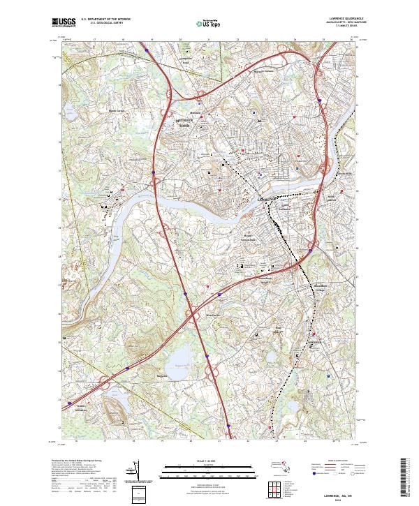
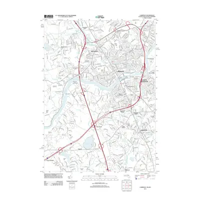
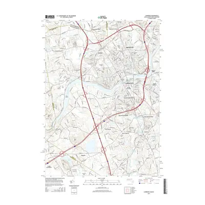
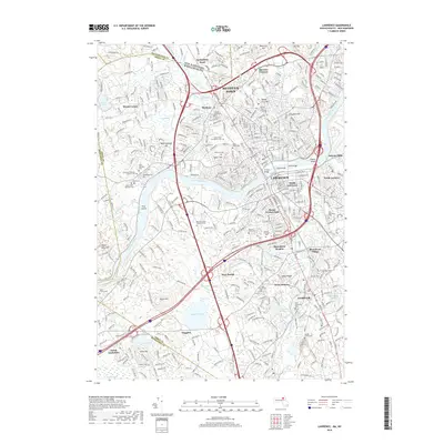
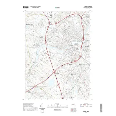
2024 Map of Lawrence
USGS Topo · Published 2024About this map
The Merrimack River powers the industrial heart of Lawrence, where the historic North Canal and South Canal define the urban core. This contemporary survey captures a densely layered landscape of old manufacturing centers and residential expansion, stretching from the banks of the river to the neighboring hills of Methuen Town and Andover. The region is marked by an exceptional concentration of historical cemeteries and civic institutions, such as the Essex County - Lawrence Superior Courthouse and the Massachusetts School of Law. Beyond the city center, the terrain rises toward Pie Hill and Prospect Hill, while the Shawsheen River meanders through the southern neighborhoods. Local history and genealogy interest is high here, with numerous family and religious burial grounds like Saint Marys Cem and Walnut Grove Cem situated among established neighborhoods like Shawsheen Village and West Parish.
Find a feature on this map
74 named features on this map. Tap any name to fly to it.
Don’t see what you’re looking for? This feature index may not catch every label — zoom into the map to look around manually.
Map Details
Editions of this 2024 Lawrence Map
This is the sole edition of this map. No revisions or reprints were ever made.
Historical Maps of Lawrence Through Time
13 maps found

1886 Lawrence
Essex County, MA

1888 Lawrence
Essex County, MA
1893 Lawrence
Essex County, MA
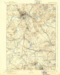
1918 Lawrence
Essex County, MA
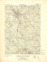
1944 Lawrence
Essex County, MA
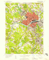
1955 Lawrence
Essex County, MA
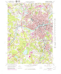
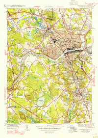
1966 Lawrence
Essex County, MA
1987 Lawrence
Essex County, MA
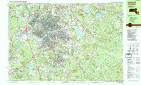
2012 Lawrence
Essex County, MA
2015 Lawrence
Essex County, MA
2018 Lawrence
Essex County, MA
2021 Lawrence
Essex County, MA
2024 Lawrence
Essex County, MA