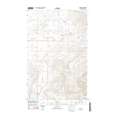
2014 Map of Lawrence
USGS Topo · Published 2014About this map
Lawrence and Nugents Corner occupy the fertile transition between the valley floor and the foothills of the Northern Cascades. The Nooksack River serves as the central geographic anchor, winding past Cedarville toward the northeast corner of the map where Sumas Mtn rises sharply. Agricultural operations define the local economy, with named sites such as the Sand Road Dairy Farm, Scheenstra Dairy, and Holmes Farms interspersed among rural settlements like Goshen and Wahl.
Find a feature on this map
122 named features on this map. Tap any name to fly to it.
Don’t see what you’re looking for? This feature index may not catch every label — zoom into the map to look around manually.
Map Details
Editions of this 2014 Lawrence Map
This is the sole edition of this map. No revisions or reprints were ever made.
Other maps of this area

1906 · Sumas
USGS Topo · 1:62,500

1908 · Sumas
USGS Topo · 1:62,500

1918 · Samish Lake
USGS Topo · 1:62,500

1919 · Van Zandt
USGS Topo · 1:62,500

1921 · Wickersham
USGS Topo · 1:62,500

1951 · Wickersham
USGS Topo · 1:62,500

1951 · Van Zandt
USGS Topo · 1:62,500

1952 · Lake Whatcom
USGS Topo · 1:24,000

1952 · Lynden
USGS Topo · 1:24,000

1952 · Lawrence
USGS Topo · 1:24,000