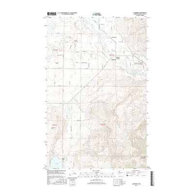
2017 Map of Lawrence
USGS Topo · Published 2017About this map
The Nooksack River winds through the heart of this Whatcom County landscape, defining the agricultural and residential patterns between Lawrence and Deming. The river's broad valley contrasts sharply with the rising elevations of Sumas Mtn to the northeast and Squalicum Mtn to the southwest. This 2017 edition documents the network of rural communities such as Goshen, Nugents Corner, and Cedarville, connected by a grid of named roads like Lawrence Rd and Goshen Rd.
Find a feature on this map
72 named features on this map. Tap any name to fly to it.
Don’t see what you’re looking for? This feature index may not catch every label — zoom into the map to look around manually.
Map Details
Editions of this 2017 Lawrence Map
This is the sole edition of this map. No revisions or reprints were ever made.
Other maps of this area

1906 · Sumas
USGS Topo · 1:62,500

1908 · Sumas
USGS Topo · 1:62,500

1918 · Samish Lake
USGS Topo · 1:62,500

1919 · Van Zandt
USGS Topo · 1:62,500

1921 · Wickersham
USGS Topo · 1:62,500

1951 · Wickersham
USGS Topo · 1:62,500

1951 · Van Zandt
USGS Topo · 1:62,500

1952 · Lake Whatcom
USGS Topo · 1:24,000

1952 · Lynden
USGS Topo · 1:24,000

1952 · Lawrence
USGS Topo · 1:24,000