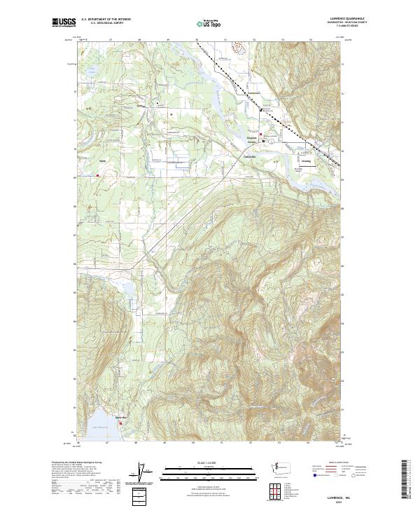
2023 Map of Lawrence
USGS Topo · Published 2023About this map
The Nooksack River winds through the heart of this Whatcom County landscape, carving a fertile valley between the high elevations of Sumas Mtn and Squalicum Mtn. Small communities like Goshen, Lawrence, and Deming are linked by a network of rural roads such as Goshen Rd and E Smith Rd, reflecting a long history of valley settlement. For genealogists and local historians, the presence of the Goshen-Nooksack Cem, Immanuel Lutheran Cem, and Bethany Lutheran Cem offers critical points for tracing family roots in the region. To the south, the map captures the northern edge of Lake Whatcom at Agate Bay, where Olsen Creek and Squalicum Creek drain the surrounding timbered uplands. The inclusion of Riverside Airport near Nugents Corner highlights the modern connectivity of this agricultural and riverside corridor.
Find a feature on this map
45 named features on this map. Tap any name to fly to it.
Don’t see what you’re looking for? This feature index may not catch every label — zoom into the map to look around manually.
Map Details
Editions of this 2023 Lawrence Map
This is the sole edition of this map. No revisions or reprints were ever made.
Other maps of this area

1906 · Sumas
USGS Topo · 1:62,500

1908 · Sumas
USGS Topo · 1:62,500

1918 · Samish Lake
USGS Topo · 1:62,500

1919 · Van Zandt
USGS Topo · 1:62,500

1921 · Wickersham
USGS Topo · 1:62,500

1951 · Wickersham
USGS Topo · 1:62,500

1951 · Van Zandt
USGS Topo · 1:62,500

1952 · Lake Whatcom
USGS Topo · 1:24,000

1952 · Lynden
USGS Topo · 1:24,000

1952 · Lawrence
USGS Topo · 1:24,000