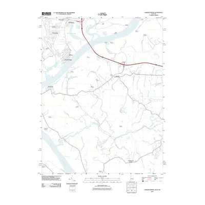
2010 Map of Lawrenceburg
USGS Topo · Published 2010About this map
The Ohio River and Great Miami River converge in this river-bottom landscape, where the borders of Indiana, Kentucky, and Ohio meet near Lawrenceburg. The topography is defined by the sharp contrast between the industrial and residential corridors of Greendale and Oldtown and the agricultural plateaus of Boone County. In Kentucky, a high density of family and community burial grounds, such as Dinsmore Cemetery, Tousey Cemetery, and Walton Cemetery, provides a wealth of data for genealogical research. The map documents the persistent rural character of settlements like Idlewild and Petersburg, which are linked by winding roads like Ashbys Fork and Woolper Rd. Inland, the terrain is deeply incised by Woolper Creek and Double Lick Creek, creating a network of ridges and hollows such as Dark Hollow that have historically shaped the region's transport and land use patterns.
Find a feature on this map
74 named features on this map. Tap any name to fly to it.
Don’t see what you’re looking for? This feature index may not catch every label — zoom into the map to look around manually.
Map Details
Editions of this 2010 Lawrenceburg Map
This is the sole edition of this map. No revisions or reprints were ever made.
Other maps of this area

1914 · West Cincinnati
USGS Topo · 1:62,500

1915 · Lawrenceburg
USGS Topo · 1:48,000

1928 · Lawrenceburg
USGS Topo · 1:62,500

1932 · Lawrenceburg
USGS Topo · 1:62,500

1943 · Aberdeen
USGS Topo · 1:24,000

1943 · Aurora
USGS Topo · 1:24,000

1943 · Rising Sun
USGS Topo · 1:24,000

1943 · Hooven
USGS Topo · 1:24,000

1943 · Guilford
USGS Topo · 1:24,000

1943 · Lawrenceburg
USGS Topo · 1:24,000