
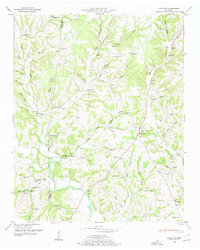
1936 Map of Lawrenceburg
USGS Topo · Published 1936About this map
Lawrenceburg serves as the central hub for this 1936 survey, showing a dense grid of streets and residences at the junction of several major routes, including U S Highway No 64 and U S Highway No 43. The local infrastructure reflects a community in transition, with the Lawrenceburg Municipal Landing Field on the outskirts and multiple power facilities like Lawrenceburg Power Plant No 1 situated along the winding course of Shoal Creek.
Find a feature on this map
67 named features on this map. Tap any name to fly to it.
Don’t see what you’re looking for? This feature index may not catch every label — zoom into the map to look around manually.
Map Details
Editions of this 1936 Lawrenceburg Map
This is the sole edition of this map. No revisions or reprints were ever made.
Other maps of this area

1936 · Deerfield
USGS Topo · 1:24,000

1936 · Campbellsville
USGS Topo · 1:24,000

1936 · Ethridge
USGS Topo · 1:24,000

1936 · Long Branch
USGS Topo · 1:24,000

1936 · Loretto
USGS Topo · 1:24,000

1936 · Bodenham
USGS Topo · 1:24,000

1936 · Appleton
USGS Topo · 1:24,000

1936 · Bonnertown
USGS Topo · 1:24,000
1948 · Appleton
USGS Topo · 1:24,000

1948 · Bodenham
USGS Topo · 1:24,000