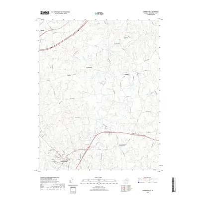
2019 Map of Lawrenceville
USGS Topo · Published 2019About this map
Lawrenceville serves as the focal point of this Brunswick County landscape, where the Brunswick County Courthouse stands as a central civic landmark. The town is surrounded by a network of rural settlements and named family sites, including Dolphin, Cool Spring, and Naptha. For those tracing local heritage, several significant burial grounds are documented, such as Saint Pauls Cem, Lawrenceville Cem, and Oakwood Cem.
Find a feature on this map
89 named features on this map. Tap any name to fly to it.
Don’t see what you’re looking for? This feature index may not catch every label — zoom into the map to look around manually.
Map Details
Editions of this 2019 Lawrenceville Map
This is the sole edition of this map. No revisions or reprints were ever made.
Other maps of this area

1918 · Lawrenceville
USGS Topo · 1:62,500

1919 · Mc Kenney
USGS Topo · 1:48,000

1919 · White Plains
USGS Topo · 1:48,000

1919 · Emporia
USGS Topo · 1:62,500

1920 · Lawrenceville
USGS Topo · 1:48,000

1920 · White Plains
USGS Topo · 1:62,500

1921 · Mc Kenney
USGS Topo · 1:62,500

1921 · Lawrenceville
USGS Topo · 1:62,500

1942 · Lawrenceville
USGS Topo · 1:62,500

1942 · Emporia
USGS Topo · 1:62,500