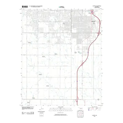
2010 Map of Lawton
USGS Topo · Published 2010About this map
Lawton's urban grid and industrial history are clearly defined in this early 21st-century record, where the convergence of historic rail lines and modern interstate corridors shapes the landscape. The city’s railroad heritage is anchored by the Rock Island Depot and Frisco Depot, which served as critical transit hubs for Comanche County. To the west, the campus of Cameron University provides a prominent academic center amidst residential growth.
Find a feature on this map
45 named features on this map. Tap any name to fly to it.
Don’t see what you’re looking for? This feature index may not catch every label — zoom into the map to look around manually.
Map Details
Editions of this 2010 Lawton Map
This is the sole edition of this map. No revisions or reprints were ever made.
Other maps of this area

1937 · Cache
USGS Topo · 1:48,000

1942 · Cache
USGS Topo · 1:62,500

1946 · Lawton
USGS Topo · 1:62,500

1949 · Mount Scott
USGS Topo · 1:24,000

1949 · Arbuckle Hill
USGS Topo · 1:24,000

1949 · Fort Sill
USGS Topo · 1:24,000

1955 · Lawton
USGS Topo · 1:250,000

1956 · Ninemile Creek
USGS Topo · 1:24,000

1956 · Arbuckle Hill
USGS Topo · 1:24,000
1956 · Mount Scott
USGS Topo · 1:24,000