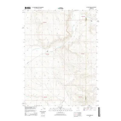
2015 Map of Layton Spring
USGS Topo · Published 2015About this map
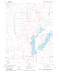
The S Fork Little Humboldt River meanders through the high desert terrain at the border of Elko and Humboldt Counties, defining the drainage patterns of this remote northern Nevada landscape. In this 2015 U.S. Geological Survey representation, the land is characterized by named geographic markers like Layton Field and Button Field, which signify specific areas of interest amidst the complex network of ridges and basins. The hydrology is dominated by seasonal and perennial water sources such as Layton Spring, Spring Cr, and Twentyone Cr. The sparse infrastructure consists primarily of isolated tracks like Shelton Ln and Kelly Creek Rd, reflecting the expansive, undeveloped character of the Great Basin region during the early 21st century.
Find a feature on this map
15 named features on this map. Tap any name to fly to it.
Don’t see what you’re looking for? This feature index may not catch every label — zoom into the map to look around manually.
Map Details
Editions of this 2015 Layton Spring Map
This is the sole edition of this map. No revisions or reprints were ever made.
Other maps of this area

1882 · Paradise
USGS Topo · 1:250,000

1893 · Paradise
USGS Topo · 1:250,000

1955 · McDermitt
USGS Topo · 1:250,000

1959 · McDermitt
USGS Topo · 1:250,000

1973 · Snowstorm Mtn
USGS Topo · 1:24,000
1973 · Rodear Flat
USGS Topo · 1:24,000

1973 · Humboldt Hill
USGS Topo · 1:24,000
1980 · Layton Spring
USGS Topo · 1:24,000
1980 · Kenny Creek
USGS Topo · 1:24,000
1980 · Chimney Reservoir
USGS Topo · 1:24,000