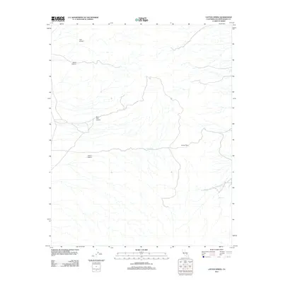
2012 Map of Layton Spring
USGS Topo · Published 2012About this map
Layton Spring serves as a central point of interest in this arid San Bernardino County landscape, where water sources dictate the movement of travelers and wildlife. The 2012 topography illustrates a network of drainage systems cutting through high-desert terrain, notably including Tank Canyon and Sand Canyon to the north. These deep ravines converge and diverge around significant elevation changes, such as Layton Pass, which provides a natural transit point between the canyons.
Find a feature on this map
9 named features on this map. Tap any name to fly to it.
Don’t see what you’re looking for? This feature index may not catch every label — zoom into the map to look around manually.
Map Details
Editions of this 2012 Layton Spring Map
This is the sole edition of this map. No revisions or reprints were ever made.
Other maps of this area

1915 · Searles Lake
USGS Topo · 1:250,000

1947 · Trona
USGS Topo · 1:250,000

1948 · Trona
USGS Topo · 1:250,000

1949 · Trona
USGS Topo · 1:62,500

1949 · Searles Lake
USGS Topo · 1:62,500

1950 · Searles Lake
USGS Topo · 1:62,500

1950 · Trona
USGS Topo · 1:62,500

1950 · Manly Peak
USGS Topo · 1:62,500

1950 · Wingate Pass
USGS Topo · 1:62,500

1951 · Wingate Pass
USGS Topo · 1:62,500