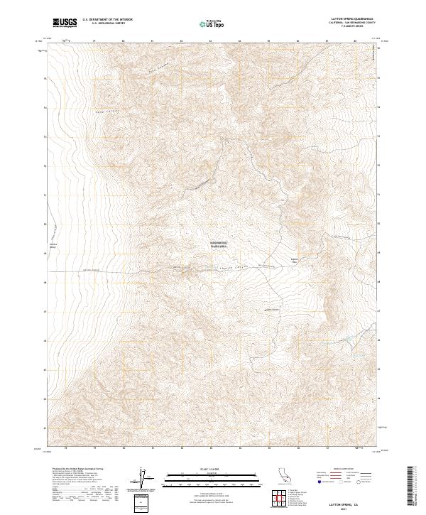
2021 Map of Layton Spring
USGS Topo · Published 2021About this map
Layton Spring serves as a vital water source in this arid landscape, where the high elevations of the Argus Range transition into the expansive Mojave Desert. This 2021 survey illustrates the sparse but critical network of springs, including Amity Spring, Lone Willow Spring, and Early Spring, which have historically dictated travel and survival in these remote canyons. The terrain is defined by deep cuts such as Tank Canyon and Sand Canyon, while human passage is largely funneled through Layton Pass. The presence of the New York Canyon Rd and Searles Dry Lake Rd underscores the limited modern infrastructure within these public lands, marking routes that have likely been used for decades to access the mineral-rich areas near the Panamint Valley.
Find a feature on this map
16 named features on this map. Tap any name to fly to it.
Don’t see what you’re looking for? This feature index may not catch every label — zoom into the map to look around manually.
Map Details
Editions of this 2021 Layton Spring Map
This is the sole edition of this map. No revisions or reprints were ever made.
Other maps of this area

1915 · Searles Lake
USGS Topo · 1:250,000

1947 · Trona
USGS Topo · 1:250,000

1948 · Trona
USGS Topo · 1:250,000

1949 · Trona
USGS Topo · 1:62,500

1949 · Searles Lake
USGS Topo · 1:62,500

1950 · Searles Lake
USGS Topo · 1:62,500

1950 · Trona
USGS Topo · 1:62,500

1950 · Manly Peak
USGS Topo · 1:62,500

1950 · Wingate Pass
USGS Topo · 1:62,500

1951 · Wingate Pass
USGS Topo · 1:62,500