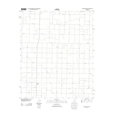
2012 Map of Lazbuddie SW
USGS Topo · Published 2012About this map
Locker Brothers Airport anchors the southern half of this agricultural landscape in Bailey County, providing a rare landmark amidst a vast, rectilinear grid of rural roads. This 2012 survey illustrates the systematic organization of the Texas Panhandle, where the land is partitioned into a precise network of county routes such as Co Road AA and Co Road Ee. The pattern of these roads, including north-south arteries like Co Rd-173 and Co Rd-213, reflects the enduring requirements of large-scale ranching and farming operations. While few structures are named, the presence of the airport and the dense infrastructure of numbered roads like Co Rd-1028 suggest a landscape defined by coordinated industrial agriculture and regional transit.
Find a feature on this map
30 named features on this map. Tap any name to fly to it.
Don’t see what you’re looking for? This feature index may not catch every label — zoom into the map to look around manually.
Map Details
Editions of this 2012 Lazbuddie SW Map
This is the sole edition of this map. No revisions or reprints were ever made.
Other maps of this area

1954 · Clovis
USGS Topo · 1:250,000

1958 · Clovis
USGS Topo · 1:250,000

1962 · Muleshoe
USGS Topo · 1:24,000

1962 · Baileyboro NE
USGS Topo · 1:24,000

1962 · Muleshoe NE
USGS Topo · 1:24,000

1963 · Clays Corner
USGS Topo · 1:24,000

1963 · Lazbuddie
USGS Topo · 1:24,000

1963 · Lariat NE
USGS Topo · 1:24,000

1963 · Lazbuddie SW
USGS Topo · 1:24,000

1963 · Progress
USGS Topo · 1:24,000