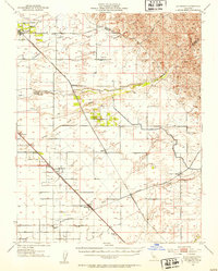
1946 Map of Le Grand
USGS Topo · Published 1953About this map
The Atchison Topeka and Santa Fe and Southern Pacific railroads dominate this San Joaquin Valley landscape, dictating the placement of agricultural shipping points and small towns shortly after World War II. While much of the terrain is defined by the ephemeral watercourses of Mariposa Creek, Chowchilla River, and Ash Slough, the cultural footprint is strictly tied to the rails and local roads. The settlement of Le Grand serves as a northern hub, while further south, the map details the early development of Fairmead, Califa, and Chowchilla. A notable concentration of rural infrastructure is visible around the Dixieland School and the Berenda area. The transition from the flat valley floor toward the foothills is marked by the Buchanan Hollow Road and the county lines where Merced, Madera, and Mariposa counties meet.
Find a feature on this map
46 named features on this map. Tap any name to fly to it.
Don’t see what you’re looking for? This feature index may not catch every label — zoom into the map to look around manually.
Map Details
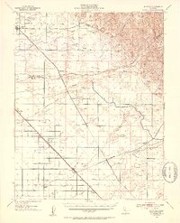
Editions of this 1946 Le Grand Map
2 editions found
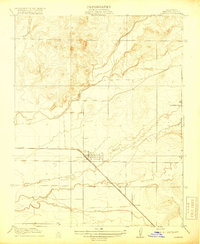
Other maps of this area

1912 · Mariposa
USGS Topo · 1:125,000

1915 · Owens Creek
USGS Topo · 1:31,680

1916 · Berenda
USGS Topo · 1:31,680

1918 · Owens Creek
USGS Topo · 1:31,680

1918 · Chowchilla
USGS Topo · 1:31,680

1918 · Berenda
USGS Topo · 1:31,680
1918 · Planada
USGS Topo · 1:31,680

1918 · La Grand
USGS Topo · 1:31,680

1919 · Indian Gulch
USGS Topo · 1:48,000

1919 · Plainsberg
USGS Topo · 1:31,680