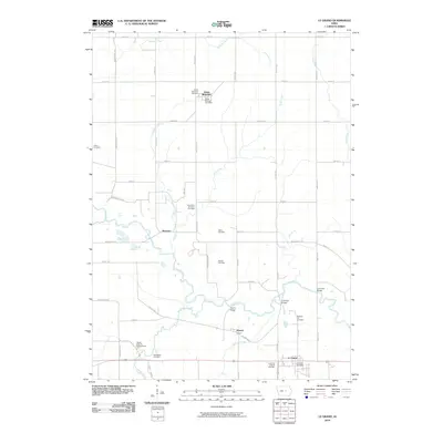
2010 Map of Le Grand
USGS Topo · Published 2010About this map
The Iowa River meanders through this agricultural landscape of central Iowa, defining the geography between Green Mountain and the town of Le Grand. This area is marked by a high density of rural burial grounds, including the Le Grand Friends Cemetery, Iowa River Brethren Cemetery, and Quinn Cemetery, which offer valuable locations for genealogical research into the region's early Quaker and Brethren settlers. The settlement of Quarry sits south of the river, near its namesake industrial site, while the Le Grand Post Office and Green Mountain Post Office anchor their respective communities. Numerous tributaries, such as Burnett Creek, Timber Creek, and Rock Creek, feed into the river valley, crisscrossed by a grid of local roads like Wallace Ave and Zeller Ave that have guided the township's development for generations.
Find a feature on this map
52 named features on this map. Tap any name to fly to it.
Don’t see what you’re looking for? This feature index may not catch every label — zoom into the map to look around manually.
Map Details
Editions of this 2010 Le Grand Map
This is the sole edition of this map. No revisions or reprints were ever made.
Other maps of this area

1954 · Waterloo
USGS Topo · 1:250,000

1954 · Des Moines
USGS Topo · 1:250,000

1955 · Waterloo
USGS Topo · 1:250,000

1956 · Des Moines
USGS Topo · 1:250,000

1957 · Des Moines
USGS Topo · 1:250,000

1960 · Marshalltown
USGS Topo · 1:24,000

1960 · Marshalltown
USGS Topo · 1:62,500

1960 · Le Grand
USGS Topo · 1:24,000

1960 · Conrad West
USGS Topo · 1:24,000

1960 · Conrad East
USGS Topo · 1:24,000