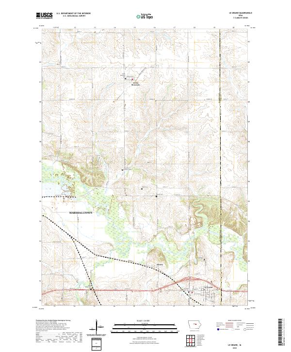
2022 Map of Le Grand
USGS Topo · Published 2022About this map
The Iowa River carves a winding path through the heart of Marshall County, shaping the agrarian landscape between Green Mountain and Le Grand. This modern survey documents the intricate network of township roads and county highways that stitch together the central Iowa prairie, reflecting a settlement pattern established by 19th-century pioneers. The map is particularly rich for genealogical research, identifying numerous small burial grounds such as the Iowa River Brethren Cem, Wallin Cem, and the Le Grand Friends Cem.
Find a feature on this map
68 named features on this map. Tap any name to fly to it.
Don’t see what you’re looking for? This feature index may not catch every label — zoom into the map to look around manually.
Map Details
Editions of this 2022 Le Grand Map
This is the sole edition of this map. No revisions or reprints were ever made.
Other maps of this area

1954 · Waterloo
USGS Topo · 1:250,000

1954 · Des Moines
USGS Topo · 1:250,000

1955 · Waterloo
USGS Topo · 1:250,000

1956 · Des Moines
USGS Topo · 1:250,000

1957 · Des Moines
USGS Topo · 1:250,000

1960 · Marshalltown
USGS Topo · 1:24,000

1960 · Marshalltown
USGS Topo · 1:62,500

1960 · Le Grand
USGS Topo · 1:24,000

1960 · Conrad West
USGS Topo · 1:24,000

1960 · Conrad East
USGS Topo · 1:24,000