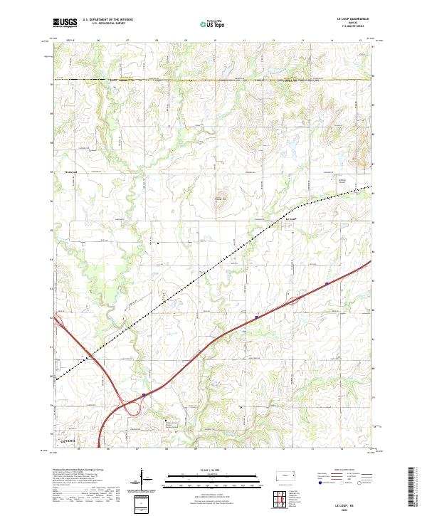
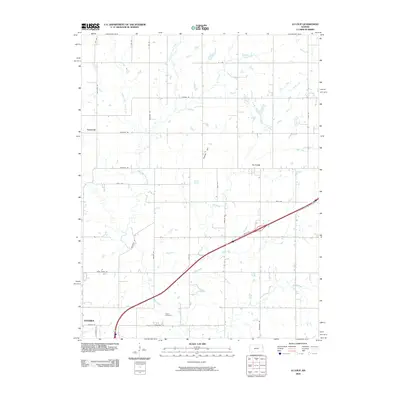
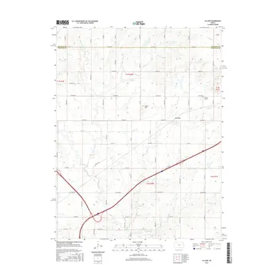
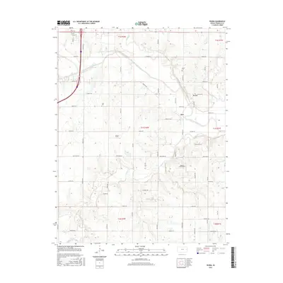
2022 Map of Le Loup
USGS Topo · Published 2022About this map
Ottawa Indian Mission Burying Ground stands as a significant historical site within this landscape, situated near the headwaters of Walnut Cr and south of Le Loup. This portion of Franklin and Douglas counties is defined by the complex drainage network of Tauy Creek, including its Middle Fork Tauy Cr, E Fork Tauy Cr, and W Fork Tauy Cr. The map captures the agricultural and transport structure of the region, where a dense grid of section roads like Stafford Rd and Reno RD connects small settlements and aviation landmarks like Coffman Airport. To the southwest, the outskirts of Ottawa appear near the intersection of Sand Creek RD and Pawnee RD, showing the expansion of the county seat toward the rolling terrain of Fowler Hill. The area's geography remains centered on these ancient creek valleys that have shaped local settlement patterns for generations.
Find a feature on this map
54 named features on this map. Tap any name to fly to it.
Don’t see what you’re looking for? This feature index may not catch every label — zoom into the map to look around manually.
Map Details
Editions of this 2022 Le Loup Map
This is the sole edition of this map. No revisions or reprints were ever made.
Historical Maps of Ottawa Through Time
36 maps found
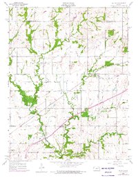
1956 Le Loup
Franklin County, KS
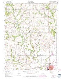
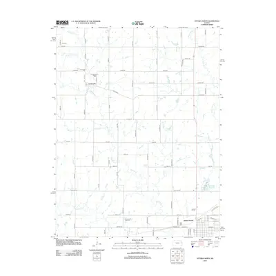
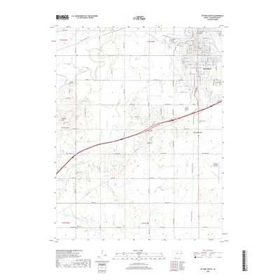
1956 Ottawa North
Franklin County, KS
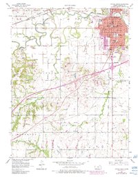
1956 Ottawa South
Franklin County, KS
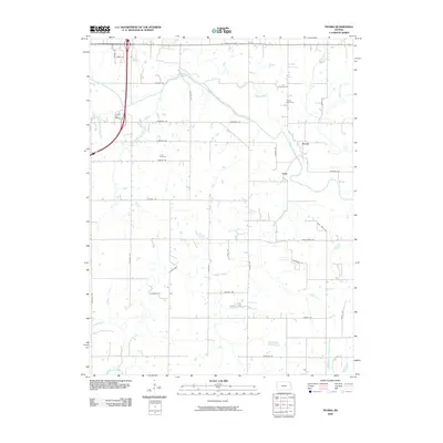
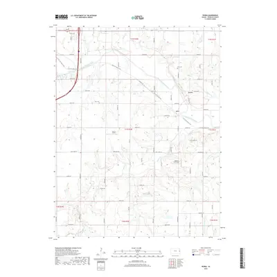
1962 Peoria
Franklin County, KS
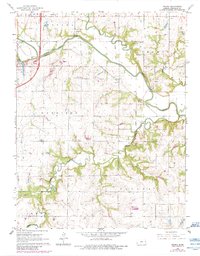
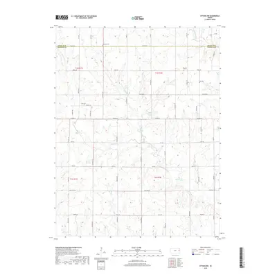
1965 Ottawa NW
Franklin County, KS
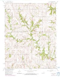
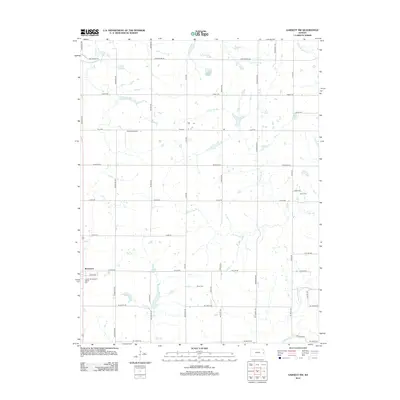
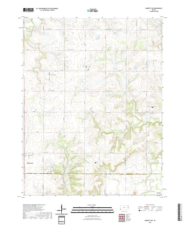
1966 Garnett NW
Franklin County, KS
2009 Garnett NW
Franklin County, KS
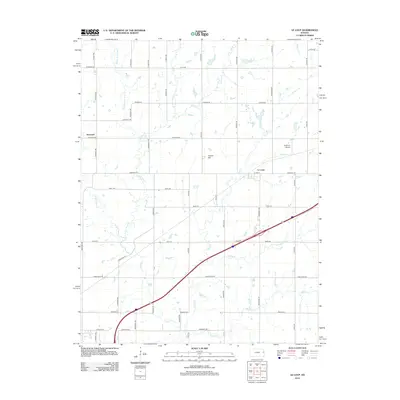
2009 Le Loup
Franklin County, KS
2009 Ottawa North
Franklin County, KS
2009 Ottawa NW
Franklin County, KS
2009 Ottawa South
Franklin County, KS
2009 Peoria
Franklin County, KS
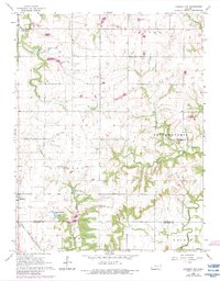
2012 Garnett NW
Franklin County, KS
2012 Le Loup
Franklin County, KS
2012 Ottawa North
Franklin County, KS
2012 Ottawa NW
Franklin County, KS
2012 Ottawa South
Franklin County, KS
2012 Peoria
Franklin County, KS
2015 Garnett NW
Franklin County, KS
2015 Le Loup
Franklin County, KS
2015 Ottawa North
Franklin County, KS
2015 Ottawa NW
Franklin County, KS
2015 Ottawa South
Franklin County, KS
2015 Peoria
Franklin County, KS
2018 Garnett NW
Franklin County, KS
2018 Le Loup
Franklin County, KS
2018 Ottawa North
Franklin County, KS
2018 Ottawa NW
Franklin County, KS
2018 Ottawa South
Franklin County, KS
2018 Peoria
Franklin County, KS
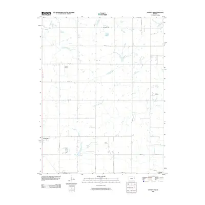
2022 Garnett NW
Franklin County, KS
2022 Le Loup
Franklin County, KS
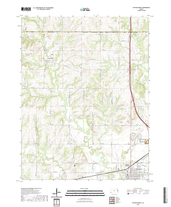
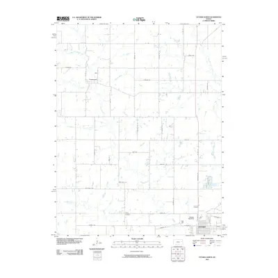
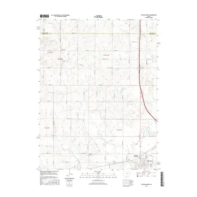
2022 Ottawa North
Franklin County, KS
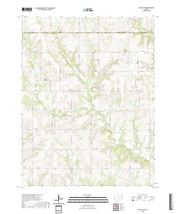
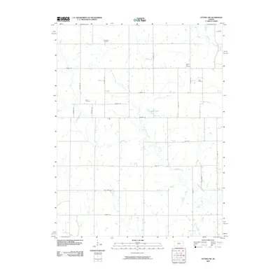
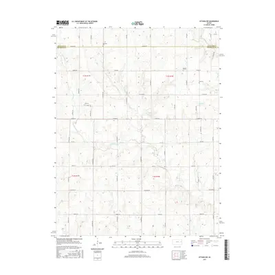
2022 Ottawa NW
Franklin County, KS
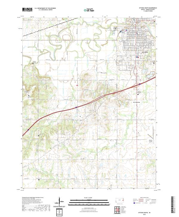
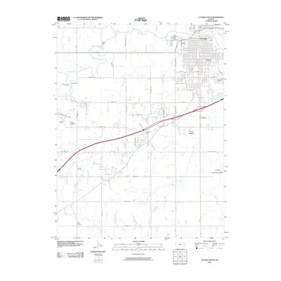
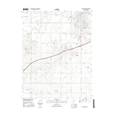
2022 Ottawa South
Franklin County, KS
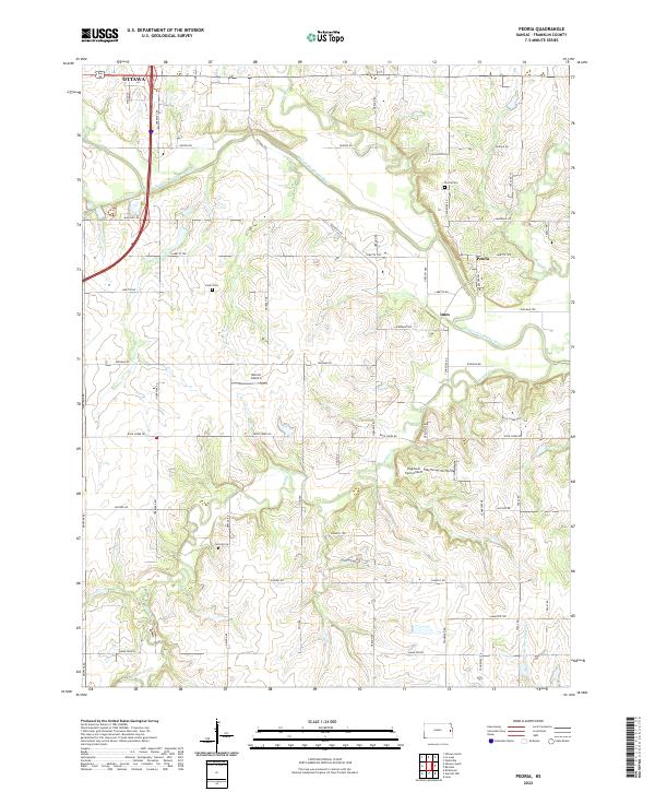
2022 Peoria
Franklin County, KS