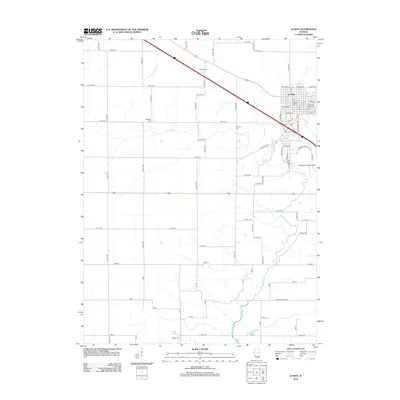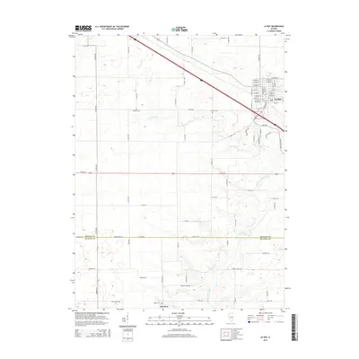
2024 Map of Le Roy
USGS Topo · Published 2024About this map
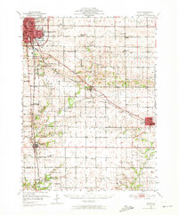
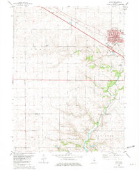
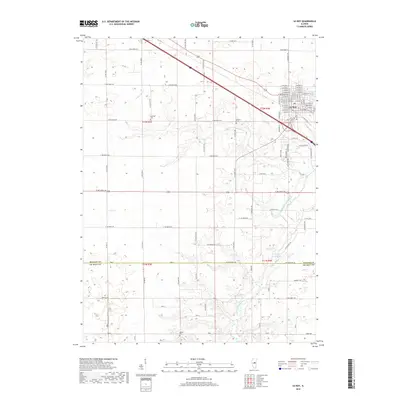
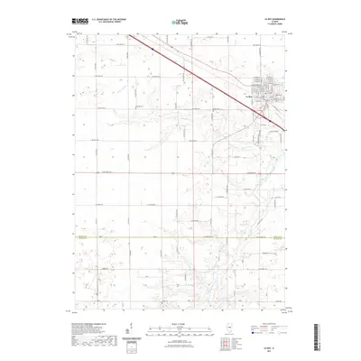
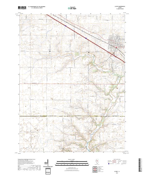
Le Roy serves as the primary municipal center in this central Illinois landscape, showing a dense residential grid of streets like W Washington St and E Center St. The surrounding countryside is defined by the convergence of agricultural land and the meandering paths of West Fork Salt Creek and North Fork Salt Creek. The county boundary between McLean Co and De Witt Co runs through the southern portion of the map, just below Clyde Vance Lake. Genealogists will find several burial sites preserved across the prairie, including Rutledge Cem, Gilmore Cem, and Walden Cem, providing critical landmarks for tracing local family history. The topography is relatively level, typical of the region's glacial till plains, with the primary relief found along the drainage basins of the Salt Creek forks.
Find a feature on this map
83 named features on this map. Tap any name to fly to it.
Don’t see what you’re looking for? This feature index may not catch every label — zoom into the map to look around manually.
Map Details
Editions of this 2024 Le Roy Map
This is the sole edition of this map. No revisions or reprints were ever made.
Historical Maps of Le Roy Through Time
7 maps found