
1951 Map of Leaburg
USGS Topo · Published 1952About this map
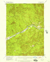
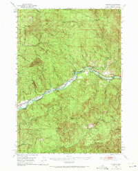
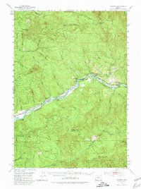
The Mc Kenzie River carves a central path through this portion of Lane County, defining the local infrastructure and settlement patterns in the early 1950s. The river's industrial utility is evident at the Leaburg Dam and the nearby Leaburg Power Plant, which supported the region's mid-century development. Small riverfront communities such as Leaburg, Vida, and Deerhorn follow the water's course, while the surrounding terrain rises sharply toward prominent peaks like Mt Nebo and Oshkosh Mtn. To the south and east, the landscape transitions into the Willamette National Forest, where numerous tributaries including Little Fall Creek and Gate Creek drain the timbered highlands. This survey documents a balance between hydroelectric engineering and the preservation of natural spaces at Ben & Kay Dorris State Park, capturing the area before modern expansion altered these mountain corridors.
Find a feature on this map
43 named features on this map. Tap any name to fly to it.
Don’t see what you’re looking for? This feature index may not catch every label — zoom into the map to look around manually.
Map Details
Editions of this 1951 Leaburg Map
4 editions found
Other maps of this area

1921 · Brownsville
USGS Topo · 1:62,500

1925 · Waldo Lake
USGS Topo · 1:125,000

1934 · Mc Kenzie Bridge
USGS Topo · 1:96,000

1935 · Lowell
USGS Topo · 1:96,000

1940 · Mc Kenzie Bridge
USGS Topo · 1:125,000

1942 · Lowell
USGS Topo · 1:125,000

1950 · Marcola
USGS Topo · 1:62,500

1950 · Brownsville
USGS Topo · 1:62,500

1951 · Sweet Home
USGS Topo · 1:62,500

1952 · Brownsville
USGS Topo · 1:62,500